Area Overview for SL7 1UB
Photos of SL7 1UB
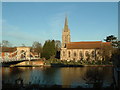
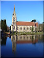
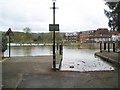
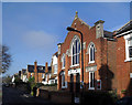
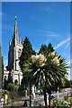
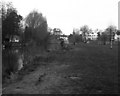
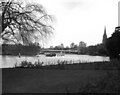
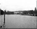
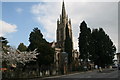
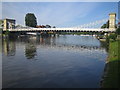
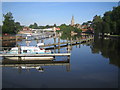
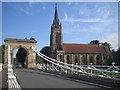
100 photos from this area
Area Information
Key information about the SL7 1UB including its size, population, and administrative classification.
- Area Type
- Postcode
- Area Size
- 2606 m²
- Population
- 1235
- Population Density
- 4311 people/km²
House Prices in SL7 1UB
9
Properties
£290,000
Average Sold Price
£146,000
Lowest Price
£466,000
Highest Price
Showing 9 properties
| Address | Type | Beds | Baths | Last Sale Price | Last Sale Date | |
|---|---|---|---|---|---|---|
| 40 Savill Way, Marlow, SL7 1UB | Semi-detached | 2 | 1 | £466,000 | Aug 2024 | |
| 46 Savill Way, Marlow, SL7 1UB | house | - | - | £330,000 | Jan 2021 | |
| 47 Savill Way, Marlow, SL7 1UB | Semi-detached | 2 | 1 | £377,000 | Aug 2017 | |
| 44 Savill Way, Marlow, SL7 1UB | Semi-detached | 2 | 1 | £250,000 | Sep 2011 | |
| 42 Savill Way, Marlow, SL7 1UB | house | 2 | - | £245,000 | Apr 2007 | |
| 43 Savill Way, Marlow, SL7 1UB | Semi-detached | 2 | 1 | £216,000 | Jun 2006 | |
| 45 Savill Way, Marlow, SL7 1UB | house | - | - | £146,000 | Apr 2000 | |
| 41 Savill Way, Marlow, SL7 1UB | Semi-detached | - | - | - | - | |
| Alba Management Services, Swan House, 39 Savill Way, Marlow, SL7 1UB | office_workshop | - | - | - | - |
Energy Efficiency in SL7 1UB
Amenities
Schools
| Rank | School | Type | Entry gender | Ages |
|---|
Explore more schools in this area
Go to Schools tabDemographics
Household Size
Family (3-5 people)
most common
Accommodation Type
Houses
most common
Tenure
57
majority
Ethnic Group
White
most common
Religion
N/A
most common
Household Composition
N/A
most common
Age
47
median
Adults (30-64 years)
most common
Household Deprivation
N/A
with no deprivation
NS-SEC
35
in Lower managerial occupations
Explore more demographic insights in this area
Go to Demographics tabPlanning
Planning Constraints
- Flood RiskPremium
- Ramsar Wetland SitesPremium
- Area of Outstanding Natural BeautyPremium
- Protected Nature ReservePremium
- Protected WoodlandPremium