Area Overview for SL7 1ND
Photos of SL7 1ND
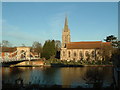
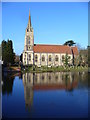
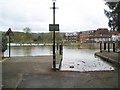
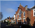
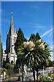
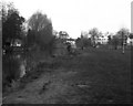
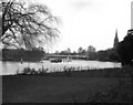
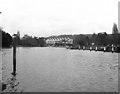
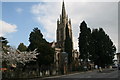
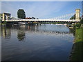
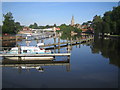
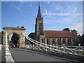
100 photos from this area
Area Information
Key information about the SL7 1ND including its size, population, and administrative classification.
- Area Type
- Postcode
- Area Size
- 3629 m²
- Population
- 1407
- Population Density
- 1311 people/km²
House Prices in SL7 1ND
18
Properties
£527,627
Average Sold Price
£105,000
Lowest Price
£940,000
Highest Price
Showing 18 properties
| Address | Type | Beds | Baths | Last Sale Price | Last Sale Date | |
|---|---|---|---|---|---|---|
| 8 Station Road, Marlow, SL7 1ND | Semi-detached | 3 | 2 | £898,000 | Jun 2025 | |
| 26 Station Road, Marlow, SL7 1ND | Terraced | 4 | 2 | £940,000 | Feb 2025 | |
| 16 Station Road, Marlow, SL7 1ND | Terraced | 4 | 2 | £770,000 | Sep 2023 | |
| 34 Station Road, Marlow, SL7 1ND | Maisonette | - | - | £262,000 | Feb 2019 | |
| 12 Station Road, Marlow, SL7 1ND | Terraced | 3 | 1 | £547,500 | Jul 2018 | |
| 24 Station Road, Marlow, SL7 1ND | Terraced | 3 | 1 | £742,075 | May 2017 | |
| 28 Station Road, Marlow, SL7 1ND | Terraced | 4 | - | £587,000 | Aug 2013 | |
| 18 Station Road, Marlow, SL7 1ND | Terraced | 4 | 2 | £549,950 | Apr 2013 | |
| 30 Station Road, Marlow, SL7 1ND | Detached | 4 | 2 | £630,000 | Feb 2007 | |
| 10 Station Road, Marlow, SL7 1ND | Terraced | 2 | 1 | £105,000 | Sep 1999 |
Page 1 of 2
Energy Efficiency in SL7 1ND
Amenities
Schools
| Rank | School | Type | Entry gender | Ages |
|---|
Explore more schools in this area
Go to Schools tabDemographics
Household Size
Two person
most common
Accommodation Type
Houses
most common
Tenure
80
majority
Ethnic Group
White
most common
Religion
N/A
most common
Household Composition
N/A
most common
Age
47
median
Adults (30-64 years)
most common
Household Deprivation
N/A
with no deprivation
NS-SEC
59
in Lower managerial occupations
Explore more demographic insights in this area
Go to Demographics tabPlanning
Planning Constraints
- Flood RiskPremium
- Ramsar Wetland SitesPremium
- Area of Outstanding Natural BeautyPremium
- Protected Nature ReservePremium
- Protected WoodlandPremium