Area Overview for SL6 9NZ
Photos of SL6 9NZ

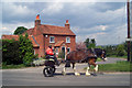
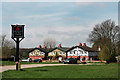
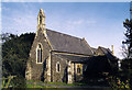

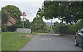
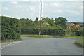
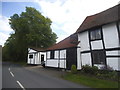
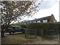
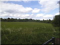
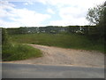
43 photos from this area
Area Information
Key information about the SL6 9NZ including its size, population, and administrative classification.
- Area Type
- Postcode
- Area Size
- 6.2 hectares
- Population
- 1896
- Population Density
- 453 people/km²
House Prices in SL6 9NZ
19
Properties
£1,295,008
Average Sold Price
£825,000
Lowest Price
£2,500,000
Highest Price
Showing 19 properties
| Address | Type | Beds | Baths | Last Sale Price | Last Sale Date | |
|---|---|---|---|---|---|---|
| Cherry Tree Cottage, Cookham Dean Common, Cookham, Maidenhead, SL6 9NZ | house | 4 | 1 | £2,076,000 | Nov 2023 | |
| Brecklands, Cookham Dean Common, Cookham, Maidenhead, SL6 9NZ | Detached | 5 | - | £2,500,000 | Mar 2023 | |
| Minside Cottage, Cookham Dean Common, Cookham, Maidenhead, SL6 9NZ | Detached | 4 | 2 | £1,340,000 | Nov 2020 | |
| Holly Cottage, Cookham Dean Common, Cookham, Maidenhead, SL6 9NZ | house | - | - | £1,080,000 | May 2020 | |
| Walnut Tree Cottage, Cookham Dean Common, Cookham, Maidenhead, SL6 9NZ | house | - | - | £1,150,000 | Dec 2018 | |
| Coppenhall, Cookham Dean Common, Cookham, Maidenhead, SL6 9NZ | Bungalow | - | - | £949,000 | Sep 2015 | |
| Wild Winds, Cookham Dean Common, Cookham, Maidenhead, SL6 9NZ | house | - | - | £1,200,000 | Dec 2014 | |
| Old Orchard Cottage, Cookham Dean Common, Cookham, Maidenhead, SL6 9NZ | Detached | 7 | 4 | £1,420,000 | Nov 2010 | |
| Thornbury Cottage, Cookham Dean Common, Cookham, Maidenhead, SL6 9NZ | house | - | - | £915,000 | Sep 2009 | |
| Chapel House, Cookham Dean Common, Cookham, Maidenhead, SL6 9NZ | house | - | - | £825,000 | May 2007 |
Page 1 of 2
Energy Efficiency in SL6 9NZ
Amenities
Schools
| Rank | School | Type | Entry gender | Ages |
|---|
Explore more schools in this area
Go to Schools tabDemographics
Household Size
Family (3-5 people)
most common
Accommodation Type
Houses
most common
Tenure
85
majority
Ethnic Group
White
most common
Religion
N/A
most common
Household Composition
N/A
most common
Age
47
median
Adults (30-64 years)
most common
Household Deprivation
N/A
with no deprivation
NS-SEC
57
in Lower managerial occupations
Explore more demographic insights in this area
Go to Demographics tabPlanning
Planning Constraints
- Flood RiskPremium
- Ramsar Wetland SitesPremium
- Area of Outstanding Natural BeautyPremium
- Protected Nature ReservePremium
- Protected WoodlandPremium