Area Overview for SL6 5DN
Photos of SL6 5DN
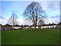
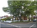
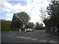
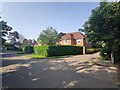
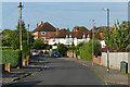
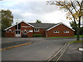
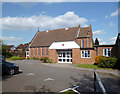
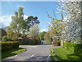


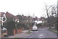
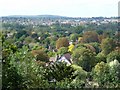
12 photos from this area
Area Information
Key information about the SL6 5DN including its size, population, and administrative classification.
- Area Type
- Postcode
- Area Size
- 3.5 hectares
- Population
- 1114
- Population Density
- 494 people/km²
House Prices in SL6 5DN
37
Properties
£567,071
Average Sold Price
£179,000
Lowest Price
£1,450,000
Highest Price
Showing 37 properties
| Address | Type | Beds | Baths | Last Sale Price | Last Sale Date | |
|---|---|---|---|---|---|---|
| 104A Pinkneys Road, Maidenhead, SL6 5DN | Detached | 4 | 2 | £822,000 | Jul 2025 | |
| 74 Pinkneys Road, Maidenhead, SL6 5DN | Bungalow | 3 | 2 | £704,000 | Oct 2023 | |
| 92 Pinkneys Road, Maidenhead, SL6 5DN | Retail | 5 | 3 | £1,020,000 | Mar 2023 | |
| 88 Pinkneys Road, Maidenhead, SL6 5DN | Retail | 5 | 2 | £700,000 | Mar 2022 | |
| 124 Pinkneys Road, Maidenhead, SL6 5DN | house | - | - | £1,130,000 | Mar 2021 | |
| 80 Pinkneys Road, Maidenhead, SL6 5DN | house | - | - | £612,500 | Oct 2020 | |
| 98 Pinkneys Road, Maidenhead, SL6 5DN | Detached | 5 | 2 | £660,000 | Jan 2020 | |
| 108 Pinkneys Road, Maidenhead, SL6 5DN | Semi-detached | 3 | - | £572,000 | Nov 2015 | |
| Atriem, 120A Pinkneys Road, Maidenhead, SL6 5DN | house | 5 | - | £1,450,000 | Jan 2013 | |
| 78 Pinkneys Road, Maidenhead, SL6 5DN | house | 3 | - | £630,000 | Jan 2012 |
Page 1 of 4
Energy Efficiency in SL6 5DN
Amenities
Schools
| Rank | School | Type | Entry gender | Ages |
|---|
Explore more schools in this area
Go to Schools tabDemographics
Household Size
Two person
most common
Accommodation Type
Houses
most common
Tenure
87
majority
Ethnic Group
White
most common
Religion
N/A
most common
Household Composition
N/A
most common
Age
47
median
Adults (30-64 years)
most common
Household Deprivation
N/A
with no deprivation
NS-SEC
51
in Lower managerial occupations
Explore more demographic insights in this area
Go to Demographics tabPlanning
Planning Constraints
- Flood RiskPremium
- Ramsar Wetland SitesPremium
- Area of Outstanding Natural BeautyPremium
- Protected Nature ReservePremium
- Protected WoodlandPremium