Area Overview for SL6 2SF
Photos of SL6 2SF
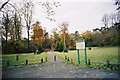
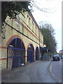
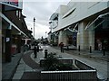
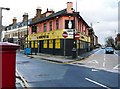
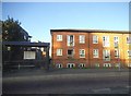

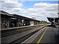
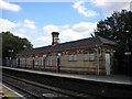

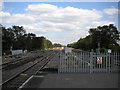
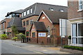
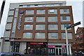
100 photos from this area
Area Information
Key information about the SL6 2SF including its size, population, and administrative classification.
- Area Type
- Postcode
- Area Size
- 1.2 hectares
- Population
- 1824
- Population Density
- 6123 people/km²
House Prices in SL6 2SF
35
Properties
£404,694
Average Sold Price
£67,000
Lowest Price
£612,500
Highest Price
Showing 35 properties
| Address | Type | Beds | Baths | Last Sale Price | Last Sale Date | |
|---|---|---|---|---|---|---|
| 106 Larchfield Road, Maidenhead, SL6 2SF | Terraced | 3 | 2 | £612,500 | Jun 2024 | |
| 86 Larchfield Road, Maidenhead, SL6 2SF | Terraced | 3 | 1 | £430,000 | Aug 2023 | |
| 64 Larchfield Road, Maidenhead, SL6 2SF | Semi-detached | 3 | 2 | £465,000 | Jun 2021 | |
| 52 Larchfield Road, Maidenhead, SL6 2SF | house | - | - | £460,000 | Jun 2021 | |
| 72 Larchfield Road, Maidenhead, SL6 2SF | Semi-detached | 3 | 1 | £453,750 | Jul 2018 | |
| 54 Larchfield Road, Maidenhead, SL6 2SF | Semi-detached | 3 | 2 | £347,000 | Feb 2016 | |
| 104 Larchfield Road, Maidenhead, SL6 2SF | Semi-detached | 4 | 3 | £570,000 | Dec 2014 | |
| 82 Larchfield Road, Maidenhead, SL6 2SF | Terraced | 3 | - | £237,000 | Jan 2013 | |
| 76 Larchfield Road, Maidenhead, SL6 2SF | Semi-detached | - | - | £67,000 | Sep 1996 | |
| Apartment 6, Red Kite Court, 110 Larchfield Road, Maidenhead, SL6 2SF | Flat | 2 | 2 | - | - |
Page 1 of 4
Energy Efficiency in SL6 2SF
Amenities
Schools
| Rank | School | Type | Entry gender | Ages |
|---|
Explore more schools in this area
Go to Schools tabDemographics
Household Size
Family (3-5 people)
most common
Accommodation Type
Houses
most common
Tenure
44
majority
Ethnic Group
White
most common
Religion
N/A
most common
Household Composition
N/A
most common
Age
47
median
Adults (30-64 years)
most common
Household Deprivation
N/A
with no deprivation
NS-SEC
29
in Lower managerial occupations
Explore more demographic insights in this area
Go to Demographics tabPlanning
Planning Constraints
- Flood RiskPremium
- Ramsar Wetland SitesPremium
- Area of Outstanding Natural BeautyPremium
- Protected Nature ReservePremium
- Protected WoodlandPremium