Area Overview for SL6 1NU
Photos of SL6 1NU
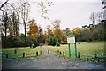
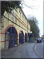
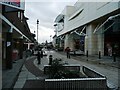
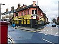
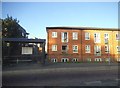

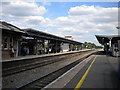
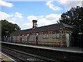
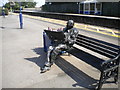
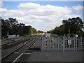
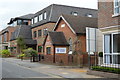
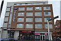
100 photos from this area
Area Information
Key information about the SL6 1NU including its size, population, and administrative classification.
- Area Type
- Postcode
- Area Size
- 1.2 hectares
- Population
- 1929
- Population Density
- 5048 people/km²
House Prices in SL6 1NU
20
Properties
£326,157
Average Sold Price
£212,000
Lowest Price
£447,000
Highest Price
Showing 20 properties
| Address | Type | Beds | Baths | Last Sale Price | Last Sale Date | |
|---|---|---|---|---|---|---|
| 27 South Road, Maidenhead, SL6 1NU | Semi-detached | 2 | 2 | £447,000 | Jan 2025 | |
| 10 South Road, Maidenhead, SL6 1NU | Terraced | 2 | 1 | £345,775 | Dec 2024 | |
| 14 South Road, Maidenhead, SL6 1NU | Semi-detached | 2 | 1 | £435,500 | Sep 2023 | |
| 12 South Road, Maidenhead, SL6 1NU | house | - | - | £345,000 | Jan 2023 | |
| 16 South Road, Maidenhead, SL6 1NU | Semi-detached | 2 | 1 | £355,000 | Jan 2022 | |
| 22 South Road, Maidenhead, SL6 1NU | Semi-detached | 3 | - | £442,500 | Sep 2019 | |
| 24A South Road, Maidenhead, SL6 1NU | Flat | 2 | 1 | £270,000 | May 2015 | |
| 24 South Road, Maidenhead, SL6 1NU | Maisonette | 2 | 1 | £220,000 | Dec 2014 | |
| 31 South Road, Maidenhead, SL6 1NU | house | 2 | - | £290,000 | Mar 2011 | |
| 29 South Road, Maidenhead, SL6 1NU | Semi-detached | - | - | £224,950 | Apr 2006 |
Page 1 of 2
Energy Efficiency in SL6 1NU
Amenities
Schools
| Rank | School | Type | Entry gender | Ages |
|---|
Explore more schools in this area
Go to Schools tabDemographics
Household Size
One person
most common
Accommodation Type
Houses
most common
Tenure
46
majority
Ethnic Group
White
most common
Religion
N/A
most common
Household Composition
N/A
most common
Age
47
median
Adults (30-64 years)
most common
Household Deprivation
N/A
with no deprivation
NS-SEC
51
in Lower managerial occupations
Explore more demographic insights in this area
Go to Demographics tabPlanning
Planning Constraints
- Flood RiskPremium
- Ramsar Wetland SitesPremium
- Area of Outstanding Natural BeautyPremium
- Protected Nature ReservePremium
- Protected WoodlandPremium