Area Overview for SL6 1BZ
Photos of SL6 1BZ
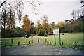
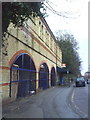
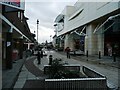
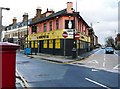
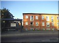
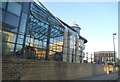
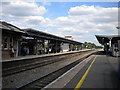
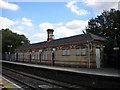

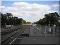
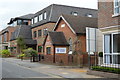
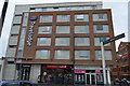
100 photos from this area
Area Information
Key information about the SL6 1BZ including its size, population, and administrative classification.
- Area Type
- Postcode
- Area Size
- 7.3 hectares
- Population
- 2049
- Population Density
- 1215 people/km²
House Prices in SL6 1BZ
28
Properties
£732,250
Average Sold Price
£223,000
Lowest Price
£1,500,000
Highest Price
Showing 28 properties
| Address | Type | Beds | Baths | Last Sale Price | Last Sale Date | |
|---|---|---|---|---|---|---|
| 26 Rushington Avenue, Maidenhead, SL6 1BZ | Detached | 3 | 1 | £943,000 | Mar 2024 | |
| 32 Rushington Avenue, Maidenhead, SL6 1BZ | house | 4 | 2 | £995,000 | Feb 2021 | |
| 22 Rushington Avenue, Maidenhead, SL6 1BZ | Detached | 4 | 1 | £800,000 | Sep 2020 | |
| 40 Rushington Avenue, Maidenhead, SL6 1BZ | house | 4 | - | £970,000 | Jul 2020 | |
| 20 Rushington Avenue, Maidenhead, SL6 1BZ | Detached | 3 | 1 | £820,000 | Jan 2020 | |
| 42 Rushington Avenue, Maidenhead, SL6 1BZ | Detached | 5 | 3 | £890,000 | Aug 2019 | |
| 44 Rushington Avenue, Maidenhead, SL6 1BZ | Detached | 4 | 2 | £825,000 | Aug 2019 | |
| 2 Rushington Avenue, Maidenhead, SL6 1BZ | Bungalow | 4 | 1 | £1,500,000 | Feb 2018 | |
| 52 Rushington Avenue, Maidenhead, SL6 1BZ | Detached | 5 | 2 | £897,000 | Sep 2017 | |
| 34 Rushington Avenue, Maidenhead, SL6 1BZ | Detached | 4 | 2 | £915,000 | Jul 2017 |
Page 1 of 3
Energy Efficiency in SL6 1BZ
Amenities
Schools
| Rank | School | Type | Entry gender | Ages |
|---|
Explore more schools in this area
Go to Schools tabDemographics
Household Size
Two person
most common
Accommodation Type
Flats
most common
Tenure
59
majority
Ethnic Group
White
most common
Religion
N/A
most common
Household Composition
N/A
most common
Age
47
median
Adults (30-64 years)
most common
Household Deprivation
N/A
with no deprivation
NS-SEC
52
in Lower managerial occupations
Explore more demographic insights in this area
Go to Demographics tabPlanning
Planning Constraints
- Flood RiskPremium
- Ramsar Wetland SitesPremium
- Area of Outstanding Natural BeautyPremium
- Protected Nature ReservePremium
- Protected WoodlandPremium