Area Overview for SL6 0PR
Photos of SL6 0PR
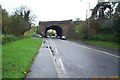
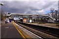
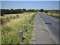
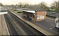
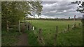
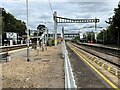
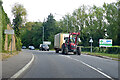
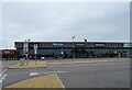
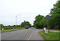
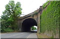
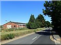
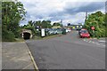
44 photos from this area
Area Information
Key information about the SL6 0PR including its size, population, and administrative classification.
- Area Type
- Postcode
- Area Size
- 14.3 hectares
- Population
- 2390
- Population Density
- 213 people/km²
House Prices in SL6 0PR
33
Properties
£423,939
Average Sold Price
£195,000
Lowest Price
£980,000
Highest Price
Showing 33 properties
| Address | Type | Beds | Baths | Last Sale Price | Last Sale Date | |
|---|---|---|---|---|---|---|
| 767 Bath Road, Burnham, SL6 0PR | Detached | 5 | 3 | £980,000 | Nov 2023 | |
| 769 Bath Road, Burnham, SL6 0PR | house | - | - | £760,000 | Jun 2021 | |
| 753 Bath Road, Burnham, SL6 0PR | Bungalow | 3 | 1 | £519,000 | Jan 2021 | |
| 759 Bath Road, Burnham, SL6 0PR | house | - | - | £360,000 | Sep 2013 | |
| 749 Bath Road, Burnham, SL6 0PR | Semi-detached | 2 | - | £277,500 | Aug 2013 | |
| 761 Bath Road, Burnham, SL6 0PR | Terraced | - | - | £264,000 | Aug 2004 | |
| 763 Bath Road, Burnham, SL6 0PR | Terraced | - | - | £249,950 | Dec 2003 | |
| 751 Bath Road, Burnham, SL6 0PR | Semi-detached | 3 | 2 | £210,000 | Apr 2001 | |
| 775 Bath Road, Burnham, SL6 0PR | Detached | - | - | £195,000 | Oct 1997 | |
| 799 Bath Road, Burnham, SL6 0PR | Detached | 4 | - | - | - |
Page 1 of 4
Energy Efficiency in SL6 0PR
Amenities
Schools
| Rank | School | Type | Entry gender | Ages |
|---|
Explore more schools in this area
Go to Schools tabDemographics
Household Size
Two person
most common
Accommodation Type
Houses
most common
Tenure
71
majority
Ethnic Group
White
most common
Religion
N/A
most common
Household Composition
N/A
most common
Age
47
median
Adults (30-64 years)
most common
Household Deprivation
N/A
with no deprivation
NS-SEC
52
in Lower managerial occupations
Explore more demographic insights in this area
Go to Demographics tabPlanning
Planning Constraints
- Flood RiskPremium
- Ramsar Wetland SitesPremium
- Area of Outstanding Natural BeautyPremium
- Protected Nature ReservePremium
- Protected WoodlandPremium