Area Overview for SL5 9RH
Photos of SL5 9RH
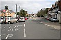
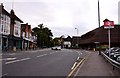
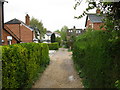

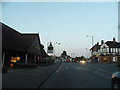

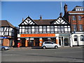

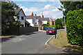
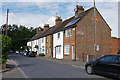


70 photos from this area
Area Information
Key information about the SL5 9RH including its size, population, and administrative classification.
- Area Type
- Postcode
- Area Size
- 6.3 hectares
- Population
- 1780
- Population Density
- 1095 people/km²
House Prices in SL5 9RH
20
Properties
£2,179,375
Average Sold Price
£665,000
Lowest Price
£4,500,000
Highest Price
Showing 20 properties
| Address | Type | Beds | Baths | Last Sale Price | Last Sale Date | |
|---|---|---|---|---|---|---|
| Lime Tree Cottage, Priory Road, Sunningdale, Ascot, SL5 9RH | Semi-detached | 4 | 3 | £1,475,000 | Aug 2022 | |
| Milldale, Priory Road, Sunningdale, Ascot, SL5 9RH | house | - | - | £4,500,000 | Sep 2021 | |
| Blue Ridge, Priory Road, Sunningdale, Ascot, SL5 9RH | Detached | 7 | 7 | £3,250,000 | Aug 2019 | |
| West Cottage, Priory Road, Sunningdale, Ascot, SL5 9RH | Semi-detached | 4 | 3 | £900,000 | Feb 2019 | |
| Holmwood, Priory Road, Sunningdale, Ascot, SL5 9RH | Detached | 5 | 4 | £2,400,000 | Apr 2017 | |
| Priors Wood, Priory Road, Sunningdale, Ascot, SL5 9RH | Detached | 5 | - | £1,895,000 | May 2012 | |
| Chuffs, Priory Road, Sunningdale, Ascot, SL5 9RH | Detached | 5 | 3 | £2,350,000 | Nov 2002 | |
| Les Arbres, Priory Road, Sunningdale, Ascot, SL5 9RH | Detached | - | - | £665,000 | May 1996 | |
| Flat 5, Belvedere Grange, Priory Road, Sunningdale, Ascot, SL5 9RH | Flat | 3 | 2 | - | - | |
| Flat 1, Belvedere Grange, Priory Road, Sunningdale, Ascot, SL5 9RH | Flat | 3 | - | - | - |
Page 1 of 2
Energy Efficiency in SL5 9RH
Amenities
Schools
| Rank | School | Type | Entry gender | Ages |
|---|
Explore more schools in this area
Go to Schools tabDemographics
Household Size
Two person
most common
Accommodation Type
Houses
most common
Tenure
74
majority
Ethnic Group
White
most common
Religion
N/A
most common
Household Composition
N/A
most common
Age
47
median
Adults (30-64 years)
most common
Household Deprivation
N/A
with no deprivation
NS-SEC
53
in Lower managerial occupations
Explore more demographic insights in this area
Go to Demographics tabPlanning
Planning Constraints
- Flood RiskPremium
- Ramsar Wetland SitesPremium
- Area of Outstanding Natural BeautyPremium
- Protected Nature ReservePremium
- Protected WoodlandPremium