Area Overview for SL5 8QY
Photos of SL5 8QY
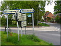
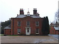
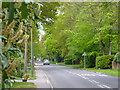
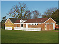
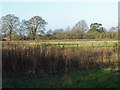
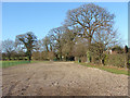
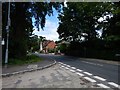
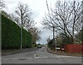
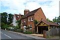

16 photos from this area
Area Information
Key information about the SL5 8QY including its size, population, and administrative classification.
- Area Type
- Postcode
- Area Size
- 7.9 hectares
- Population
- 1406
- Population Density
- 1473 people/km²
House Prices in SL5 8QY
16
Properties
£1,001,429
Average Sold Price
£300,000
Lowest Price
£1,675,000
Highest Price
Showing 16 properties
| Address | Type | Beds | Baths | Last Sale Price | Last Sale Date | |
|---|---|---|---|---|---|---|
| Hermine Stud, 42 Locks Ride, Ascot, SL5 8QY | Detached | 4 | 2 | £1,675,000 | Jan 2024 | |
| The Beeches, 22 Locks Ride, Ascot, SL5 8QY | house | - | - | £1,550,000 | Oct 2022 | |
| 24 Locks Ride, Ascot, SL5 8QY | Bungalow | - | - | £775,000 | Aug 2021 | |
| Armitage House, 38 Locks Ride, Ascot, SL5 8QY | Detached | 5 | 3 | £1,075,000 | Dec 2018 | |
| Shrublands, 20 Locks Ride, Ascot, SL5 8QY | Detached | 5 | 2 | £1,250,000 | May 2017 | |
| The Laurels, 26 Locks Ride, Ascot, SL5 8QY | Detached | - | - | £385,000 | Jun 2001 | |
| Brambly Hedge, 14 Locks Ride, Ascot, SL5 8QY | house | - | - | £300,000 | Aug 1998 | |
| 30 Locks Ride, Ascot, SL5 8QY | Detached | 3 | 2 | - | - | |
| Little Acre, 16 Locks Ride, Ascot, SL5 8QY | Detached | 4 | 3 | - | - | |
| 32 Locks Ride, Ascot, SL5 8QY | Bungalow | 4 | 2 | - | - |
Page 1 of 2
Energy Efficiency in SL5 8QY
Amenities
Schools
| Rank | School | Type | Entry gender | Ages |
|---|
Explore more schools in this area
Go to Schools tabDemographics
Household Size
Family (3-5 people)
most common
Accommodation Type
Houses
most common
Tenure
87
majority
Ethnic Group
White
most common
Religion
N/A
most common
Household Composition
N/A
most common
Age
47
median
Adults (30-64 years)
most common
Household Deprivation
N/A
with no deprivation
NS-SEC
52
in Lower managerial occupations
Explore more demographic insights in this area
Go to Demographics tabPlanning
Planning Constraints
- Flood RiskPremium
- Ramsar Wetland SitesPremium
- Area of Outstanding Natural BeautyPremium
- Protected Nature ReservePremium
- Protected WoodlandPremium