Area Overview for SL5 8PD
Photos of SL5 8PD
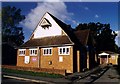
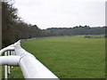
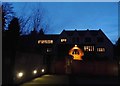
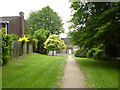
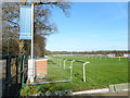
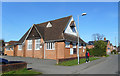
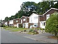
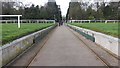
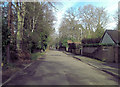
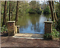
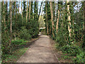
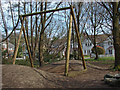
21 photos from this area
Area Information
Key information about the SL5 8PD including its size, population, and administrative classification.
- Area Type
- Postcode
- Area Size
- 1.2 hectares
- Population
- 1492
- Population Density
- 1289 people/km²
House Prices in SL5 8PD
24
Properties
£490,594
Average Sold Price
£165,000
Lowest Price
£775,000
Highest Price
Showing 24 properties
| Address | Type | Beds | Baths | Last Sale Price | Last Sale Date | |
|---|---|---|---|---|---|---|
| 3 King Edwards Road, Ascot, SL5 8PD | Bungalow | 4 | 1 | £630,000 | Mar 2025 | |
| 23 King Edwards Road, Ascot, SL5 8PD | Semi-detached | 2 | 1 | £525,000 | Feb 2025 | |
| 28 King Edwards Road, Ascot, SL5 8PD | Bungalow | 4 | 3 | £665,000 | Jan 2025 | |
| 30 King Edwards Road, Ascot, SL5 8PD | Detached | 4 | 5 | £775,000 | Oct 2023 | |
| Swiss Cottage, 10 King Edwards Road, Ascot, SL5 8PD | Semi-detached | 3 | - | £617,750 | Apr 2022 | |
| 12 King Edwards Road, Ascot, SL5 8PD | house | 5 | 3 | £690,000 | Nov 2021 | |
| 8 King Edwards Road, Ascot, SL5 8PD | Bungalow | 3 | 2 | £740,000 | Oct 2021 | |
| 16 King Edwards Road, Ascot, SL5 8PD | house | 3 | 1 | £580,000 | Jun 2020 | |
| 15 King Edwards Road, Ascot, SL5 8PD | Semi-detached | 3 | 1 | £570,000 | Nov 2019 | |
| The Almonds, 5 King Edwards Road, Ascot, SL5 8PD | Detached | 4 | 2 | £595,000 | Oct 2019 |
Page 1 of 3
Energy Efficiency in SL5 8PD
Amenities
Schools
| Rank | School | Type | Entry gender | Ages |
|---|
Explore more schools in this area
Go to Schools tabDemographics
Household Size
Two person
most common
Accommodation Type
Houses
most common
Tenure
79
majority
Ethnic Group
White
most common
Religion
N/A
most common
Household Composition
N/A
most common
Age
47
median
Adults (30-64 years)
most common
Household Deprivation
N/A
with no deprivation
NS-SEC
51
in Lower managerial occupations
Explore more demographic insights in this area
Go to Demographics tabPlanning
Planning Constraints
- Flood RiskPremium
- Ramsar Wetland SitesPremium
- Area of Outstanding Natural BeautyPremium
- Protected Nature ReservePremium
- Protected WoodlandPremium