Area Overview for SL5 7HR
Photos of SL5 7HR
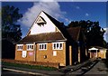
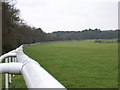
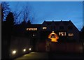
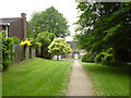
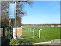
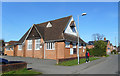
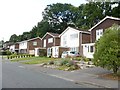
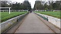
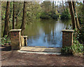
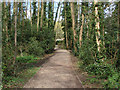
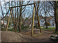
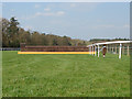
21 photos from this area
Area Information
Key information about the SL5 7HR including its size, population, and administrative classification.
- Area Type
- Postcode
- Area Size
- 3.1 hectares
- Population
- 1872
- Population Density
- 3634 people/km²
House Prices in SL5 7HR
43
Properties
£695,788
Average Sold Price
£185,000
Lowest Price
£1,265,000
Highest Price
Showing 43 properties
| Address | Type | Beds | Baths | Last Sale Price | Last Sale Date | |
|---|---|---|---|---|---|---|
| 18 Highgrove Avenue, Ascot, SL5 7HR | Semi-detached | 3 | 3 | £690,000 | Mar 2025 | |
| 32 Highgrove Avenue, Ascot, SL5 7HR | Flat | - | - | £348,000 | Apr 2024 | |
| 24 Highgrove Avenue, Ascot, SL5 7HR | Flat | 2 | - | £362,500 | Mar 2023 | |
| 54 Highgrove Avenue, Ascot, SL5 7HR | Semi-detached | 3 | 3 | £610,000 | Sep 2021 | |
| 28 Highgrove Avenue, Ascot, SL5 7HR | Flat | - | - | £355,000 | Jul 2021 | |
| 16 Highgrove Avenue, Ascot, SL5 7HR | Semi-detached | 3 | 3 | £685,000 | Jun 2021 | |
| 19 Highgrove Avenue, Ascot, SL5 7HR | Detached | 5 | 3 | £1,250,000 | Jun 2021 | |
| 15 Highgrove Avenue, Ascot, SL5 7HR | house | 5 | - | £1,025,000 | Oct 2020 | |
| 9 Highgrove Avenue, Ascot, SL5 7HR | house | - | - | £1,075,000 | May 2017 | |
| 34 Highgrove Avenue, Ascot, SL5 7HR | Flat | 2 | - | £410,000 | Oct 2016 |
Page 1 of 5
Energy Efficiency in SL5 7HR
Amenities
Schools
| Rank | School | Type | Entry gender | Ages |
|---|
Explore more schools in this area
Go to Schools tabDemographics
Household Size
Family (3-5 people)
most common
Accommodation Type
Houses
most common
Tenure
87
majority
Ethnic Group
White
most common
Religion
N/A
most common
Household Composition
N/A
most common
Age
47
median
Adults (30-64 years)
most common
Household Deprivation
N/A
with no deprivation
NS-SEC
56
in Lower managerial occupations
Explore more demographic insights in this area
Go to Demographics tabPlanning
Planning Constraints
- Flood RiskPremium
- Ramsar Wetland SitesPremium
- Area of Outstanding Natural BeautyPremium
- Protected Nature ReservePremium
- Protected WoodlandPremium