Area Overview for SL5 7DP
Photos of SL5 7DP

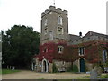

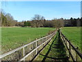

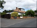
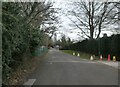
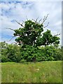

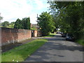
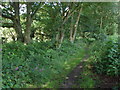

26 photos from this area
Area Information
Key information about the SL5 7DP including its size, population, and administrative classification.
- Area Type
- Postcode
- Area Size
- 4.4 hectares
- Population
- 1569
- Population Density
- 396 people/km²
House Prices in SL5 7DP
20
Properties
£1,744,962
Average Sold Price
£345,000
Lowest Price
£2,450,000
Highest Price
Showing 20 properties
| Address | Type | Beds | Baths | Last Sale Price | Last Sale Date | |
|---|---|---|---|---|---|---|
| Casa Vello, Queens Hill Rise, Ascot, SL5 7DP | Detached | 6 | 4 | £2,000,000 | Jul 2023 | |
| Fauns Wood, Queens Hill Rise, Ascot, SL5 7DP | Detached | 6 | 6 | £2,094,500 | Jun 2023 | |
| West Mount, Queens Hill Rise, Ascot, SL5 7DP | Detached | 6 | 4 | £2,200,000 | Jul 2022 | |
| Marilly, Queens Hill Rise, Ascot, SL5 7DP | Detached | 6 | 6 | £2,450,000 | Sep 2021 | |
| Eastcott, Queens Hill Rise, Ascot, SL5 7DP | Detached | 6 | - | £1,780,000 | Jul 2018 | |
| Little Trees, Queens Hill Rise, Ascot, SL5 7DP | Detached | - | - | £1,105,000 | Jun 2013 | |
| Pembroke Manor, Queens Hill Rise, Ascot, SL5 7DP | Detached | 8 | 6 | £1,750,000 | Sep 2011 | |
| The Orchid, Queens Hill Rise, Ascot, SL5 7DP | Detached | 6 | 4 | £1,925,000 | Dec 2008 | |
| Cindyan, Queens Hill Rise, Ascot, SL5 7DP | Detached | 5 | 5 | £1,925,000 | Nov 2008 | |
| Maha, Queens Hill Rise, Ascot, SL5 7DP | Detached | 5 | 4 | £1,925,000 | Oct 2008 |
Page 1 of 2
Energy Efficiency in SL5 7DP
Amenities
Schools
| Rank | School | Type | Entry gender | Ages |
|---|
Explore more schools in this area
Go to Schools tabDemographics
Household Size
Family (3-5 people)
most common
Accommodation Type
Houses
most common
Tenure
68
majority
Ethnic Group
White
most common
Religion
N/A
most common
Household Composition
N/A
most common
Age
47
median
Adults (30-64 years)
most common
Household Deprivation
N/A
with no deprivation
NS-SEC
47
in Lower managerial occupations
Explore more demographic insights in this area
Go to Demographics tabPlanning
Planning Constraints
- Flood RiskPremium
- Ramsar Wetland SitesPremium
- Area of Outstanding Natural BeautyPremium
- Protected Nature ReservePremium
- Protected WoodlandPremium