Area Overview for SL4 6PG
Photos of SL4 6PG
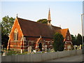
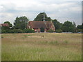
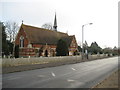
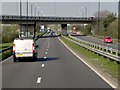
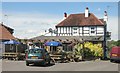
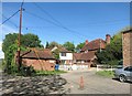
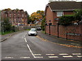
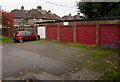
53 photos from this area
Area Information
Key information about the SL4 6PG including its size, population, and administrative classification.
- Area Type
- Postcode
- Area Size
- 10.1 hectares
- Population
- 1061
- Population Density
- 661 people/km²
House Prices in SL4 6PG
8
Properties
£345,000
Average Sold Price
£345,000
Lowest Price
£345,000
Highest Price
Showing 8 properties
| Address | Type | Beds | Baths | Last Sale Price | Last Sale Date | |
|---|---|---|---|---|---|---|
| Southview Cottage, Eton Wick Road, Eton Wick, Windsor, SL4 6PG | Detached | 4 | 2 | £345,000 | Nov 2002 | |
| R & B Vehicle Repairs, Workshop, Common Farm, Eton Wick Road, Eton Wick, Windsor, SL4 6PG | Industrial | - | - | - | - | |
| Farm House, Crown Farm, Eton Wick Road, Eton Wick, Windsor, SL4 6PG | house | - | - | - | - | |
| Unit 5, Crown Farm, Eton Wick Road, Eton Wick, Windsor, SL4 6PG | Industrial | - | - | - | - | |
| The Old Dairy, Crown Farm, Eton Wick Road, Eton Wick, Windsor, SL4 6PG | Semi-detached | - | - | - | - | |
| Stable Cottage, Crown Farm, Eton Wick Road, Eton Wick, Windsor, SL4 6PG | Terraced | - | - | - | - | |
| Crown Farm Workshop, Eton Wick Road, Eton Wick, Windsor, SL4 6PG | Industrial | - | - | - | - | |
| Bungalow At, Crown Farm, Eton Wick Road, Eton Wick, Windsor, SL4 6PG | Detached | - | - | - | - |
Energy Efficiency in SL4 6PG
Amenities
Schools
| Rank | School | Type | Entry gender | Ages |
|---|
Explore more schools in this area
Go to Schools tabDemographics
Household Size
One person
most common
Accommodation Type
Houses
most common
Tenure
63
majority
Ethnic Group
White
most common
Religion
N/A
most common
Household Composition
N/A
most common
Age
47
median
Adults (30-64 years)
most common
Household Deprivation
N/A
with no deprivation
NS-SEC
39
in Lower managerial occupations
Explore more demographic insights in this area
Go to Demographics tabPlanning
Planning Constraints
- Flood RiskPremium
- Ramsar Wetland SitesPremium
- Area of Outstanding Natural BeautyPremium
- Protected Nature ReservePremium
- Protected WoodlandPremium