Area Overview for SL4 4RZ
Photos of SL4 4RZ
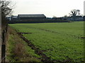
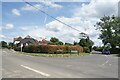
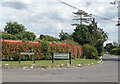
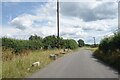
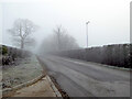
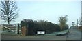
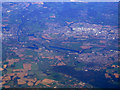
11 photos from this area
Area Information
Key information about the SL4 4RZ including its size, population, and administrative classification.
- Area Type
- Postcode
- Area Size
- 15.8 hectares
- Population
- 1059
- Population Density
- 126 people/km²
House Prices in SL4 4RZ
11
Properties
£388,750
Average Sold Price
£120,000
Lowest Price
£600,000
Highest Price
Showing 11 properties
| Address | Type | Beds | Baths | Last Sale Price | Last Sale Date | |
|---|---|---|---|---|---|---|
| Chester Lodge, Crouch Lane, Winkfield, Windsor, SL4 4RZ | Detached | - | - | £600,000 | Nov 2005 | |
| The Mill, Crouch Lane, Winkfield, Windsor, SL4 4RZ | Bungalow | - | - | £120,000 | Apr 2002 | |
| Great Oaks Cottage, Crouch Lane, Winkfield, Windsor, SL4 4RZ | Detached | - | - | £565,000 | Aug 2001 | |
| Crouch Lane Farm, Crouch Lane, Winkfield, Windsor, SL4 4RZ | Detached | - | - | £270,000 | Feb 1997 | |
| Fox Cottage, Crouch Lane, Winkfield, Windsor, SL4 4RZ | Detached | 5 | 3 | - | - | |
| Tally Ho Farm, Crouch Lane, Winkfield, Windsor, SL4 4RZ | Detached | 5 | 3 | - | - | |
| Ivy Farm, Crouch Lane, Winkfield, Windsor, SL4 4RZ | Detached | - | - | - | - | |
| Ivy Farm Cottage, Crouch Lane, Winkfield, Windsor, SL4 4RZ | house | - | - | - | - | |
| Corner Cottage, Crouch Lane, Winkfield, Windsor, SL4 4RZ | house | - | - | - | - | |
| Great Oaks Farm, Crouch Lane, Winkfield, Windsor, SL4 4RZ | Detached | - | - | - | - |
Page 1 of 2
Energy Efficiency in SL4 4RZ
Amenities
Schools
| Rank | School | Type | Entry gender | Ages |
|---|
Explore more schools in this area
Go to Schools tabDemographics
Household Size
Two person
most common
Accommodation Type
Houses
most common
Tenure
83
majority
Ethnic Group
White
most common
Religion
N/A
most common
Household Composition
N/A
most common
Age
47
median
Adults (30-64 years)
most common
Household Deprivation
N/A
with no deprivation
NS-SEC
46
in Lower managerial occupations
Explore more demographic insights in this area
Go to Demographics tabPlanning
Planning Constraints
- Flood RiskPremium
- Ramsar Wetland SitesPremium
- Area of Outstanding Natural BeautyPremium
- Protected Nature ReservePremium
- Protected WoodlandPremium