Area Overview for SL4 2DP
Photos of SL4 2DP
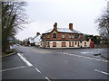
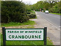
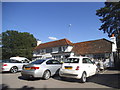
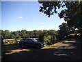
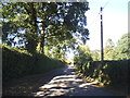
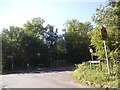
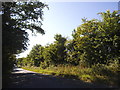
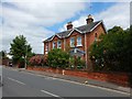
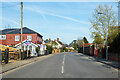
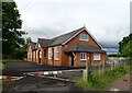
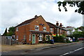
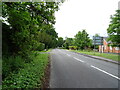
31 photos from this area
Area Information
Key information about the SL4 2DP including its size, population, and administrative classification.
- Area Type
- Postcode
- Area Size
- 23.3 hectares
- Population
- 1492
- Population Density
- 103 people/km²
House Prices in SL4 2DP
36
Properties
£784,963
Average Sold Price
£166,000
Lowest Price
£3,490,000
Highest Price
Showing 36 properties
| Address | Type | Beds | Baths | Last Sale Price | Last Sale Date | |
|---|---|---|---|---|---|---|
| Badgers Keep, Woodside Road, Winkfield, Windsor, SL4 2DP | Detached | 5 | 4 | £1,120,000 | Apr 2025 | |
| Deer House, Woodside Road, Winkfield, Windsor, SL4 2DP | Detached | 3 | 2 | £885,000 | Jan 2023 | |
| Walnut Tree Cottage, Woodside Road, Winkfield, Windsor, SL4 2DP | Detached | - | - | £1,375,000 | Jan 2021 | |
| Rosewood Cottage, Woodside Road, Winkfield, Windsor, SL4 2DP | Detached | 3 | 2 | £530,000 | Apr 2014 | |
| 19 Woodside Road, Winkfield, Windsor, SL4 2DP | Bungalow | 3 | 2 | £597,500 | Dec 2013 | |
| Orchard House, Woodside Road, Winkfield, Windsor, SL4 2DP | house | - | - | £825,000 | Mar 2009 | |
| Woodside House, Woodside Road, Winkfield, Windsor, SL4 2DP | Detached | 11 | 7 | £3,490,000 | Sep 2008 | |
| 11 Woodside Road, Winkfield, Windsor, SL4 2DP | Detached | - | - | £355,000 | Aug 2005 | |
| Badgers End, Woodside Road, Winkfield, Windsor, SL4 2DP | Detached | - | - | £475,000 | Jul 2005 | |
| Oak Tree Lodge, Woodside Road, Winkfield, Windsor, SL4 2DP | Bungalow | 3 | 3 | £500,000 | Nov 2004 |
Page 1 of 4
Energy Efficiency in SL4 2DP
Amenities
Schools
| Rank | School | Type | Entry gender | Ages |
|---|
Explore more schools in this area
Go to Schools tabDemographics
Household Size
Two person
most common
Accommodation Type
Houses
most common
Tenure
80
majority
Ethnic Group
White
most common
Religion
N/A
most common
Household Composition
N/A
most common
Age
47
median
Adults (30-64 years)
most common
Household Deprivation
N/A
with no deprivation
NS-SEC
41
in Lower managerial occupations
Explore more demographic insights in this area
Go to Demographics tabPlanning
Planning Constraints
- Flood RiskPremium
- Ramsar Wetland SitesPremium
- Area of Outstanding Natural BeautyPremium
- Protected Nature ReservePremium
- Protected WoodlandPremium