Area Overview for SL3 9PS
Photos of SL3 9PS
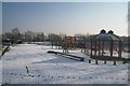
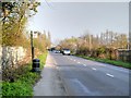
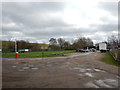
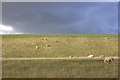
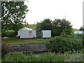
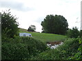
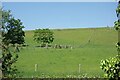
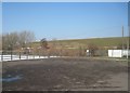
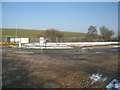
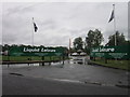
15 photos from this area
Area Information
Key information about the SL3 9PS including its size, population, and administrative classification.
- Area Type
- Postcode
- Area Size
- 1.5 km²
- Population
- 1699
- Population Density
- 886 people/km²
House Prices in SL3 9PS
7
Properties
£686,500
Average Sold Price
£475,000
Lowest Price
£898,000
Highest Price
Showing 7 properties
| Address | Type | Beds | Baths | Last Sale Price | Last Sale Date | |
|---|---|---|---|---|---|---|
| Horton Cedars, Datchet Road, Horton, Slough, SL3 9PS | Detached | - | - | £898,000 | Sep 2021 | |
| Brooklands, Datchet Road, Horton, Slough, SL3 9PS | Detached | 5 | - | £475,000 | Oct 2016 | |
| Workshop, Storage Land Rear Of Horton Garage, Datchet Road, Horton, Slough, SL3 9PS | warehouse | - | - | - | - | |
| Ljs Enamellers Workshop, Horton Garage, Datchet Road, Horton, Slough, SL3 9PS | Industrial | - | - | - | - | |
| London Trade Car Sales, Horton Garage, Datchet Road, Horton, Slough, SL3 9PS | shop | - | - | - | - | |
| M&s Auto Services, Horton Garage, Datchet Road, Horton, Slough, SL3 9PS | Industrial | - | - | - | - | |
| Brookfield Lodge, Datchet Road, Horton, Slough, SL3 9PS | Cottage | 3 | 1 | - | - |
Energy Efficiency in SL3 9PS
Amenities
Schools
| Rank | School | Type | Entry gender | Ages |
|---|
Explore more schools in this area
Go to Schools tabDemographics
Household Size
One person
most common
Accommodation Type
Houses
most common
Tenure
54
majority
Ethnic Group
White
most common
Religion
N/A
most common
Household Composition
N/A
most common
Age
47
median
Adults (30-64 years)
most common
Household Deprivation
N/A
with no deprivation
NS-SEC
36
in Lower managerial occupations
Explore more demographic insights in this area
Go to Demographics tabPlanning
Planning Constraints
- Flood RiskPremium
- Ramsar Wetland SitesPremium
- Area of Outstanding Natural BeautyPremium
- Protected Nature ReservePremium
- Protected WoodlandPremium