Area Overview for SL3 8SZ
Photos of SL3 8SZ
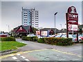
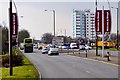
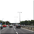

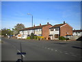
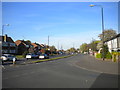
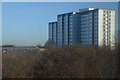
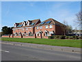
47 photos from this area
Area Information
Key information about the SL3 8SZ including its size, population, and administrative classification.
- Area Type
- Postcode
- Area Size
- 1.8 hectares
- Population
- 1772
- Population Density
- 8648 people/km²
House Prices in SL3 8SZ
51
Properties
£286,220
Average Sold Price
£79,950
Lowest Price
£495,000
Highest Price
Showing 51 properties
| Address | Type | Beds | Baths | Last Sale Price | Last Sale Date | |
|---|---|---|---|---|---|---|
| 145 Tamar Way, Slough, SL3 8SZ | Terraced | 3 | 1 | £415,000 | Jul 2025 | |
| 171 Tamar Way, Slough, SL3 8SZ | Terraced | 3 | 1 | £425,000 | Mar 2025 | |
| 167 Tamar Way, Slough, SL3 8SZ | Terraced | 3 | 1 | £407,500 | Aug 2024 | |
| 181 Tamar Way, Slough, SL3 8SZ | Terraced | 4 | 1 | £495,000 | Jun 2024 | |
| 149 Tamar Way, Slough, SL3 8SZ | Terraced | 3 | 1 | £420,000 | Sep 2023 | |
| 137 Tamar Way, Slough, SL3 8SZ | Retail | 3 | 1 | £370,000 | Apr 2022 | |
| 113 Tamar Way, Slough, SL3 8SZ | Retail | 3 | 2 | £415,000 | Dec 2021 | |
| 147 Tamar Way, Slough, SL3 8SZ | Terraced | 3 | 1 | £372,000 | Jul 2020 | |
| 111 Tamar Way, Slough, SL3 8SZ | Terraced | 3 | 1 | £315,000 | Jun 2019 | |
| 151 Tamar Way, Slough, SL3 8SZ | Terraced | 3 | - | £365,000 | Sep 2015 |
Page 1 of 6
Energy Efficiency in SL3 8SZ
Amenities
Schools
| Rank | School | Type | Entry gender | Ages |
|---|
Explore more schools in this area
Go to Schools tabDemographics
Household Size
Family (3-5 people)
most common
Accommodation Type
Houses
most common
Tenure
47
majority
Ethnic Group
White
most common
Religion
N/A
most common
Household Composition
N/A
most common
Age
47
median
Adults (30-64 years)
most common
Household Deprivation
N/A
with no deprivation
NS-SEC
24
in Lower managerial occupations
Explore more demographic insights in this area
Go to Demographics tabPlanning
Planning Constraints
- Flood RiskPremium
- Ramsar Wetland SitesPremium
- Area of Outstanding Natural BeautyPremium
- Protected Nature ReservePremium
- Protected WoodlandPremium