Area Overview for SL3 8QH
Photos of SL3 8QH
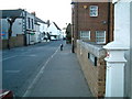
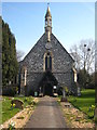
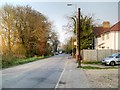
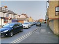
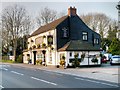
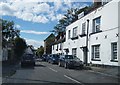
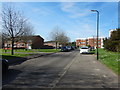
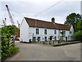
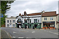
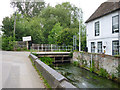
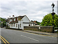
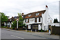
76 photos from this area
Area Information
Key information about the SL3 8QH including its size, population, and administrative classification.
- Area Type
- Postcode
- Area Size
- 4185 m²
- Population
- 1478
- Population Density
- 4555 people/km²
House Prices in SL3 8QH
11
Properties
£250,500
Average Sold Price
£235,500
Lowest Price
£265,500
Highest Price
Showing 11 properties
| Address | Type | Beds | Baths | Last Sale Price | Last Sale Date | |
|---|---|---|---|---|---|---|
| 626 London Road, Slough, SL3 8QH | house | - | - | £265,500 | Aug 2004 | |
| 624 London Road, Slough, SL3 8QH | Semi-detached | 4 | 2 | £235,500 | Mar 2004 | |
| Lower Flat, 622 London Road, Slough, SL3 8QH | Flat | - | - | - | - | |
| Lower Flat, 620 London Road, Slough, SL3 8QH | Flat | - | - | - | - | |
| Upper Floor, 616 London Road, Slough, SL3 8QH | Flat | - | - | - | - | |
| Upper Flat, 622 London Road, Slough, SL3 8QH | Flat | - | - | - | - | |
| Upper Flat, 620 London Road, Slough, SL3 8QH | Flat | - | - | - | - | |
| 618A London Road, Slough, SL3 8QH | Flat | - | - | - | - | |
| Lower Floor, 616 London Road, Slough, SL3 8QH | Flat | - | 1 | - | - | |
| 618 London Road, Slough, SL3 8QH | Flat | 4 | 2 | - | - |
Page 1 of 2
Energy Efficiency in SL3 8QH
Amenities
Schools
| Rank | School | Type | Entry gender | Ages |
|---|
Explore more schools in this area
Go to Schools tabDemographics
Household Size
Family (3-5 people)
most common
Accommodation Type
Houses
most common
Tenure
46
majority
Ethnic Group
White
most common
Religion
N/A
most common
Household Composition
N/A
most common
Age
47
median
Adults (30-64 years)
most common
Household Deprivation
N/A
with no deprivation
NS-SEC
26
in Lower managerial occupations
Explore more demographic insights in this area
Go to Demographics tabPlanning
Planning Constraints
- Flood RiskPremium
- Ramsar Wetland SitesPremium
- Area of Outstanding Natural BeautyPremium
- Protected Nature ReservePremium
- Protected WoodlandPremium