Area Overview for SL3 7PU
Photos of SL3 7PU
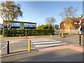
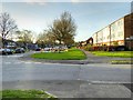
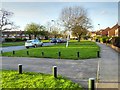
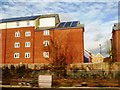
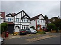
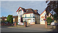
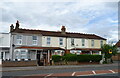
37 photos from this area
Area Information
Key information about the SL3 7PU including its size, population, and administrative classification.
- Area Type
- Postcode
- Area Size
- 2.0 hectares
- Population
- 2097
- Population Density
- 5257 people/km²
House Prices in SL3 7PU
39
Properties
£345,150
Average Sold Price
£110,000
Lowest Price
£650,000
Highest Price
Showing 39 properties
| Address | Type | Beds | Baths | Last Sale Price | Last Sale Date | |
|---|---|---|---|---|---|---|
| 4 Palmerston Avenue, Slough, SL3 7PU | house | 4 | 2 | £650,000 | Jan 2021 | |
| 19 Palmerston Avenue, Slough, SL3 7PU | house | - | - | £560,000 | Jan 2020 | |
| 8 Palmerston Avenue, Slough, SL3 7PU | Detached | 5 | 3 | £375,000 | Jan 2010 | |
| 3 Palmerston Avenue, Slough, SL3 7PU | Detached | - | - | £450,000 | May 2007 | |
| 32 Palmerston Avenue, Slough, SL3 7PU | Detached | - | - | £455,000 | Mar 2007 | |
| 23 Palmerston Avenue, Slough, SL3 7PU | house | - | - | £325,000 | Feb 2007 | |
| 15 Palmerston Avenue, Slough, SL3 7PU | Detached | - | - | £325,000 | Sep 2003 | |
| 17 Palmerston Avenue, Slough, SL3 7PU | Detached | 4 | - | £390,000 | Feb 2003 | |
| 26 Palmerston Avenue, Slough, SL3 7PU | Semi-detached | - | - | £292,000 | Oct 2001 | |
| 30 Palmerston Avenue, Slough, SL3 7PU | Detached | - | - | £285,000 | Oct 2000 |
Page 1 of 4
Energy Efficiency in SL3 7PU
Amenities
Schools
| Rank | School | Type | Entry gender | Ages |
|---|
Explore more schools in this area
Go to Schools tabDemographics
Household Size
Family (3-5 people)
most common
Accommodation Type
Houses
most common
Tenure
74
majority
Ethnic Group
asian_total
most common
Religion
N/A
most common
Household Composition
N/A
most common
Age
47
median
Adults (30-64 years)
most common
Household Deprivation
N/A
with no deprivation
NS-SEC
39
in Lower managerial occupations
Explore more demographic insights in this area
Go to Demographics tabPlanning
Planning Constraints
- Flood RiskPremium
- Ramsar Wetland SitesPremium
- Area of Outstanding Natural BeautyPremium
- Protected Nature ReservePremium
- Protected WoodlandPremium