Area Overview for SL3 7DN
Photos of SL3 7DN
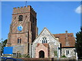
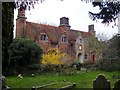
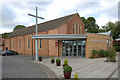
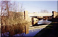
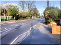
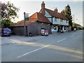
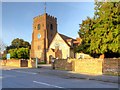
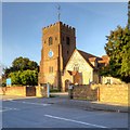
67 photos from this area
Area Information
Key information about the SL3 7DN including its size, population, and administrative classification.
- Area Type
- Postcode
- Area Size
- 6666 m²
- Population
- 1905
- Population Density
- 6567 people/km²
House Prices in SL3 7DN
18
Properties
£376,000
Average Sold Price
£130,000
Lowest Price
£585,000
Highest Price
Showing 18 properties
| Address | Type | Beds | Baths | Last Sale Price | Last Sale Date | |
|---|---|---|---|---|---|---|
| 23 Hillary Road, Slough, SL3 7DN | Semi-detached | 3 | 1 | £585,000 | May 2024 | |
| 29 Hillary Road, Slough, SL3 7DN | Semi-detached | 3 | 1 | £525,000 | Mar 2022 | |
| 21 Hillary Road, Slough, SL3 7DN | house | - | - | £525,000 | Nov 2020 | |
| 19 Hillary Road, Slough, SL3 7DN | Semi-detached | 3 | 1 | £455,000 | Aug 2019 | |
| 13 Hillary Road, Slough, SL3 7DN | Semi-detached | 6 | 2 | £540,000 | Sep 2017 | |
| 27 Hillary Road, Slough, SL3 7DN | Semi-detached | 3 | 1 | £324,000 | Oct 2014 | |
| 3 Hillary Road, Slough, SL3 7DN | Semi-detached | 5 | 2 | £302,000 | Jan 2014 | |
| 33 Hillary Road, Slough, SL3 7DN | house | 3 | - | £303,000 | Jun 2012 | |
| 5 Hillary Road, Slough, SL3 7DN | house | 3 | - | £280,000 | Sep 2010 | |
| 9 Hillary Road, Slough, SL3 7DN | Semi-detached | - | - | £167,000 | Dec 2001 |
Page 1 of 2
Energy Efficiency in SL3 7DN
Amenities
Schools
| Rank | School | Type | Entry gender | Ages |
|---|
Explore more schools in this area
Go to Schools tabDemographics
Household Size
Family (3-5 people)
most common
Accommodation Type
Houses
most common
Tenure
58
majority
Ethnic Group
asian_total
most common
Religion
N/A
most common
Household Composition
N/A
most common
Age
47
median
Adults (30-64 years)
most common
Household Deprivation
N/A
with no deprivation
NS-SEC
33
in Lower managerial occupations
Explore more demographic insights in this area
Go to Demographics tabPlanning
Planning Constraints
- Flood RiskPremium
- Ramsar Wetland SitesPremium
- Area of Outstanding Natural BeautyPremium
- Protected Nature ReservePremium
- Protected WoodlandPremium