Area Overview for SL3 7AZ
Photos of SL3 7AZ
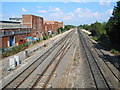
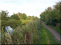
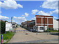
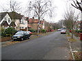
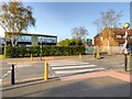
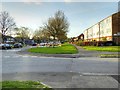
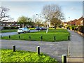
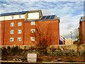
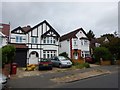
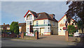
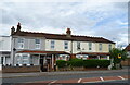
37 photos from this area
Area Information
Key information about the SL3 7AZ including its size, population, and administrative classification.
- Area Type
- Postcode
- Area Size
- 1.8 hectares
- Population
- 2138
- Population Density
- 4466 people/km²
House Prices in SL3 7AZ
9
Properties
£508,286
Average Sold Price
£410,000
Lowest Price
£720,000
Highest Price
Showing 9 properties
| Address | Type | Beds | Baths | Last Sale Price | Last Sale Date | |
|---|---|---|---|---|---|---|
| 67 Halkingcroft, Slough, SL3 7AZ | Detached | 4 | 2 | £720,000 | Aug 2019 | |
| 75 Halkingcroft, Slough, SL3 7AZ | Detached | 5 | - | £625,000 | Nov 2014 | |
| Codrum, 59 Halkingcroft, Slough, SL3 7AZ | Detached | 4 | 2 | £412,500 | Nov 2011 | |
| 61 Halkingcroft, Slough, SL3 7AZ | Detached | - | - | £445,000 | Jan 2010 | |
| 63 Halkingcroft, Slough, SL3 7AZ | Bungalow | - | - | £482,500 | Oct 2009 | |
| 71 Halkingcroft, Slough, SL3 7AZ | Detached | - | - | £463,000 | Apr 2007 | |
| 65 Halkingcroft, Slough, SL3 7AZ | Detached | - | - | £410,000 | Aug 2004 | |
| 73 Halkingcroft, Slough, SL3 7AZ | Detached | - | - | - | - | |
| 69 Halkingcroft, Slough, SL3 7AZ | Terraced | - | - | - | - |
Energy Efficiency in SL3 7AZ
Amenities
Schools
| Rank | School | Type | Entry gender | Ages |
|---|
Explore more schools in this area
Go to Schools tabDemographics
Household Size
Family (3-5 people)
most common
Accommodation Type
Houses
most common
Tenure
79
majority
Ethnic Group
asian_total
most common
Religion
N/A
most common
Household Composition
N/A
most common
Age
47
median
Adults (30-64 years)
most common
Household Deprivation
N/A
with no deprivation
NS-SEC
44
in Lower managerial occupations
Explore more demographic insights in this area
Go to Demographics tabPlanning
Planning Constraints
- Flood RiskPremium
- Ramsar Wetland SitesPremium
- Area of Outstanding Natural BeautyPremium
- Protected Nature ReservePremium
- Protected WoodlandPremium