Area Overview for SL3 6BS
Photos of SL3 6BS
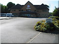
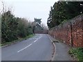
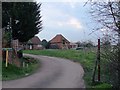
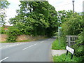
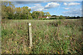
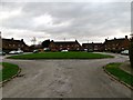
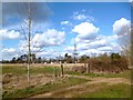
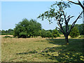
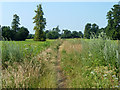
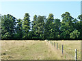
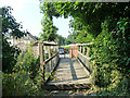
11 photos from this area
Area Information
Key information about the SL3 6BS including its size, population, and administrative classification.
- Area Type
- Postcode
- Area Size
- 39.0 hectares
- Population
- 1657
- Population Density
- 300 people/km²
House Prices in SL3 6BS
14
Properties
£2,217,500
Average Sold Price
£935,000
Lowest Price
£3,500,000
Highest Price
Showing 14 properties
| Address | Type | Beds | Baths | Last Sale Price | Last Sale Date | |
|---|---|---|---|---|---|---|
| The Marish, Middle Green, Wexham, SL3 6BS | house | - | - | £935,000 | Jun 2017 | |
| Verity Park, Middle Green, Wexham, SL3 6BS | Detached | 7 | 4 | £3,500,000 | Oct 2002 | |
| Home Cottage, Middle Green, Wexham, SL3 6BS | Detached | 4 | 1 | - | - | |
| The Grange, Middle Green, Wexham, SL3 6BS | Detached | 4 | 1 | - | - | |
| Mobile Home At, Southend Cottage, Middle Green, Wexham, SL3 6BS | Mobile Home | - | - | - | - | |
| Tennis 117M From Birchfield Cottage, Middle Green 99M From Middle Green, Middle Green, Wexham, SL3 6BS | Leisure | - | - | - | - | |
| The Gate Lodge, Middle Green, Wexham, SL3 6BS | Detached | - | - | - | - | |
| The Caravan, Home Farm, Middle Green, Wexham, SL3 6BS | Mobile Home | - | - | - | - | |
| Guru Maneyo Granth Gurdwara, Middle Green, Wexham, SL3 6BS | commercial | - | - | - | - | |
| Birchfield Cottage, Middle Green, Wexham, SL3 6BS | Detached | 6 | 4 | - | - |
Page 1 of 2
Energy Efficiency in SL3 6BS
Amenities
Schools
| Rank | School | Type | Entry gender | Ages |
|---|
Explore more schools in this area
Go to Schools tabDemographics
Household Size
One person
most common
Accommodation Type
Houses
most common
Tenure
81
majority
Ethnic Group
White
most common
Religion
N/A
most common
Household Composition
N/A
most common
Age
47
median
Adults (30-64 years)
most common
Household Deprivation
N/A
with no deprivation
NS-SEC
35
in Lower managerial occupations
Explore more demographic insights in this area
Go to Demographics tabPlanning
Planning Constraints
- Flood RiskPremium
- Ramsar Wetland SitesPremium
- Area of Outstanding Natural BeautyPremium
- Protected Nature ReservePremium
- Protected WoodlandPremium