Area Overview for SL3 0PY
Photos of SL3 0PY
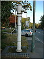

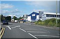
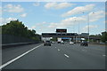
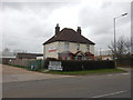
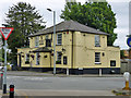
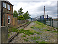
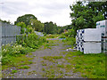
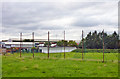

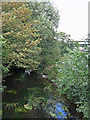
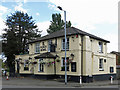
68 photos from this area
Area Information
Key information about the SL3 0PY including its size, population, and administrative classification.
- Area Type
- Postcode
- Area Size
- 1.7 hectares
- Population
- 1737
- Population Density
- 554 people/km²
House Prices in SL3 0PY
44
Properties
£322,005
Average Sold Price
£51,000
Lowest Price
£610,000
Highest Price
Showing 44 properties
| Address | Type | Beds | Baths | Last Sale Price | Last Sale Date | |
|---|---|---|---|---|---|---|
| 28 Coleridge Crescent, Colnbrook, Slough, SL3 0PY | Semi-detached | 3 | 1 | £555,000 | Sep 2025 | |
| 31 Coleridge Crescent, Colnbrook, Slough, SL3 0PY | Semi-detached | 5 | 2 | £520,000 | Mar 2025 | |
| 27 Coleridge Crescent, Colnbrook, Slough, SL3 0PY | Semi-detached | 5 | 2 | £580,000 | Mar 2025 | |
| 16 Coleridge Crescent, Colnbrook, Slough, SL3 0PY | Semi-detached | 3 | 1 | £475,000 | Aug 2023 | |
| 40 Coleridge Crescent, Colnbrook, Slough, SL3 0PY | Semi-detached | 3 | 2 | £491,000 | Jun 2023 | |
| 14 Coleridge Crescent, Colnbrook, Slough, SL3 0PY | Semi-detached | 3 | 2 | £218,650 | Mar 2023 | |
| 38 Coleridge Crescent, Colnbrook, Slough, SL3 0PY | Semi-detached | 4 | 2 | £520,000 | Jun 2022 | |
| 11 Coleridge Crescent, Colnbrook, Slough, SL3 0PY | Semi-detached | 5 | 3 | £610,000 | Feb 2022 | |
| 39 Coleridge Crescent, Colnbrook, Slough, SL3 0PY | house | - | - | £566,000 | Feb 2022 | |
| 42 Coleridge Crescent, Colnbrook, Slough, SL3 0PY | house | - | - | £430,000 | Jan 2022 |
Page 1 of 5
Energy Efficiency in SL3 0PY
Amenities
Schools
| Rank | School | Type | Entry gender | Ages |
|---|
Explore more schools in this area
Go to Schools tabDemographics
Household Size
Family (3-5 people)
most common
Accommodation Type
Houses
most common
Tenure
55
majority
Ethnic Group
White
most common
Religion
N/A
most common
Household Composition
N/A
most common
Age
47
median
Adults (30-64 years)
most common
Household Deprivation
N/A
with no deprivation
NS-SEC
26
in Lower managerial occupations
Explore more demographic insights in this area
Go to Demographics tabPlanning
Planning Constraints
- Flood RiskPremium
- Ramsar Wetland SitesPremium
- Area of Outstanding Natural BeautyPremium
- Protected Nature ReservePremium
- Protected WoodlandPremium