Area Overview for SL2 5RP
Photos of SL2 5RP
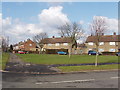
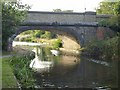
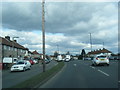
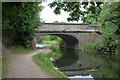
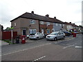
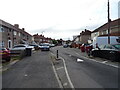
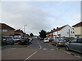
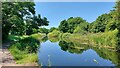
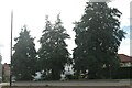
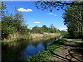
30 photos from this area
Area Information
Key information about the SL2 5RP including its size, population, and administrative classification.
- Area Type
- Postcode
- Area Size
- 1.2 hectares
- Population
- 2122
- Population Density
- 6780 people/km²
House Prices in SL2 5RP
30
Properties
£248,227
Average Sold Price
£64,995
Lowest Price
£530,000
Highest Price
Showing 30 properties
| Address | Type | Beds | Baths | Last Sale Price | Last Sale Date | |
|---|---|---|---|---|---|---|
| 160 The Frithe, Slough, SL2 5RP | Terraced | 3 | 1 | £465,000 | Sep 2024 | |
| 176 The Frithe, Slough, SL2 5RP | house | - | - | £437,500 | Jul 2020 | |
| 118 The Frithe, Slough, SL2 5RP | Terraced | 6 | 3 | £530,000 | Jan 2020 | |
| 168 The Frithe, Slough, SL2 5RP | Semi-detached | 3 | 1 | £377,000 | Dec 2015 | |
| 146 The Frithe, Slough, SL2 5RP | Terraced | 3 | - | £250,000 | Dec 2013 | |
| 144 The Frithe, Slough, SL2 5RP | Terraced | - | - | £184,000 | Apr 2009 | |
| 148 The Frithe, Slough, SL2 5RP | Terraced | - | - | £210,000 | Feb 2007 | |
| 158 The Frithe, Slough, SL2 5RP | house | - | - | £210,000 | Apr 2005 | |
| 132 The Frithe, Slough, SL2 5RP | house | - | - | £183,000 | Nov 2003 | |
| 122 The Frithe, Slough, SL2 5RP | Terraced | 3 | 1 | £120,500 | Oct 2000 |
Page 1 of 3
Energy Efficiency in SL2 5RP
Amenities
Schools
| Rank | School | Type | Entry gender | Ages |
|---|
Explore more schools in this area
Go to Schools tabDemographics
Household Size
Family (3-5 people)
most common
Accommodation Type
Houses
most common
Tenure
51
majority
Ethnic Group
asian_total
most common
Religion
N/A
most common
Household Composition
N/A
most common
Age
47
median
Adults (30-64 years)
most common
Household Deprivation
N/A
with no deprivation
NS-SEC
23
in Lower managerial occupations
Explore more demographic insights in this area
Go to Demographics tabPlanning
Planning Constraints
- Flood RiskPremium
- Ramsar Wetland SitesPremium
- Area of Outstanding Natural BeautyPremium
- Protected Nature ReservePremium
- Protected WoodlandPremium