Area Overview for SL2 5NZ
Photos of SL2 5NZ
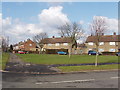
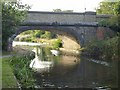
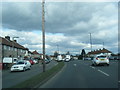
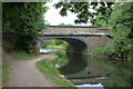
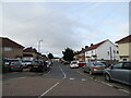
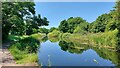
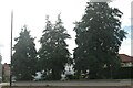
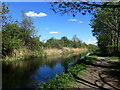
30 photos from this area
Area Information
Key information about the SL2 5NZ including its size, population, and administrative classification.
- Area Type
- Postcode
- Area Size
- 6074 m²
- Population
- 1925
- Population Density
- 10377 people/km²
House Prices in SL2 5NZ
15
Properties
£257,909
Average Sold Price
£57,995
Lowest Price
£510,000
Highest Price
Showing 15 properties
| Address | Type | Beds | Baths | Last Sale Price | Last Sale Date | |
|---|---|---|---|---|---|---|
| 311 Uxbridge Road, Slough, SL2 5NZ | Terraced | 3 | 2 | £370,100 | Mar 2025 | |
| 291 Uxbridge Road, Slough, SL2 5NZ | Semi-detached | 3 | - | £510,000 | Jan 2023 | |
| 313 Uxbridge Road, Slough, SL2 5NZ | Terraced | 3 | 2 | £335,000 | Dec 2016 | |
| 299 Uxbridge Road, Slough, SL2 5NZ | Terraced | 3 | 1 | £235,000 | Sep 2015 | |
| 293 Uxbridge Road, Slough, SL2 5NZ | Terraced | 4 | 1 | £235,000 | Dec 2013 | |
| 317 Uxbridge Road, Slough, SL2 5NZ | house | - | - | £221,000 | Dec 2011 | |
| 315 Uxbridge Road, Slough, SL2 5NZ | house | 3 | 2 | £224,995 | Jul 2003 | |
| 309 Uxbridge Road, Slough, SL2 5NZ | Detached | 3 | 2 | £249,995 | Jul 2003 | |
| 301 Uxbridge Road, Slough, SL2 5NZ | Terraced | - | - | £140,000 | May 2002 | |
| 305 Uxbridge Road, Slough, SL2 5NZ | Terraced | - | - | £57,995 | Oct 1995 |
Page 1 of 2
Energy Efficiency in SL2 5NZ
Amenities
Schools
| Rank | School | Type | Entry gender | Ages |
|---|
Explore more schools in this area
Go to Schools tabDemographics
Household Size
Family (3-5 people)
most common
Accommodation Type
Houses
most common
Tenure
52
majority
Ethnic Group
asian_total
most common
Religion
N/A
most common
Household Composition
N/A
most common
Age
47
median
Adults (30-64 years)
most common
Household Deprivation
N/A
with no deprivation
NS-SEC
23
in Lower managerial occupations
Explore more demographic insights in this area
Go to Demographics tabPlanning
Planning Constraints
- Flood RiskPremium
- Ramsar Wetland SitesPremium
- Area of Outstanding Natural BeautyPremium
- Protected Nature ReservePremium
- Protected WoodlandPremium