Area Overview for SL2 4PG
Photos of SL2 4PG


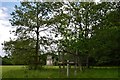

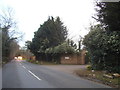
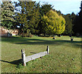
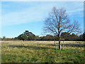

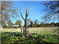
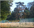
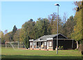
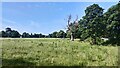
29 photos from this area
Area Information
Key information about the SL2 4PG including its size, population, and administrative classification.
- Area Type
- Postcode
- Area Size
- 53.5 hectares
- Population
- 1872
- Population Density
- 446 people/km²
House Prices in SL2 4PG
37
Properties
£1,376,267
Average Sold Price
£322,500
Lowest Price
£4,400,000
Highest Price
Showing 37 properties
| Address | Type | Beds | Baths | Last Sale Price | Last Sale Date | |
|---|---|---|---|---|---|---|
| Pogles Cottage, Park Road, Stoke Poges, SL2 4PG | Detached | - | - | £2,400,000 | Aug 2024 | |
| The Forge, Park Road, Stoke Poges, SL2 4PG | house | 6 | - | £1,726,500 | Jan 2023 | |
| East Lodge, Park Road, Stoke Poges, SL2 4PG | Semi-detached | 2 | 1 | £1,375,000 | Aug 2022 | |
| Oakmeade, Park Road, Stoke Poges, SL2 4PG | Retail | 5 | 3 | £1,800,000 | Apr 2022 | |
| Woodlee, Park Road, Stoke Poges, SL2 4PG | house | 5 | - | £1,475,000 | Jan 2021 | |
| Warneford, Park Road, Stoke Poges, SL2 4PG | house | - | - | £1,475,000 | Sep 2020 | |
| Anvil House, Park Road, Stoke Poges, SL2 4PG | house | - | - | £1,100,000 | Jan 2019 | |
| Gateside Lodge, Park Road, Stoke Poges, SL2 4PG | Detached | 5 | 4 | £1,000,000 | Oct 2017 | |
| Monkseaton, Park Road, Stoke Poges, SL2 4PG | Bungalow | 3 | 3 | £650,000 | Jun 2013 | |
| The Bungalow, Park Road, Stoke Poges, SL2 4PG | Bungalow | - | - | £4,400,000 | Jul 2008 |
Page 1 of 4
Energy Efficiency in SL2 4PG
Amenities
Schools
| Rank | School | Type | Entry gender | Ages |
|---|
Explore more schools in this area
Go to Schools tabDemographics
Household Size
Family (3-5 people)
most common
Accommodation Type
Houses
most common
Tenure
74
majority
Ethnic Group
White
most common
Religion
N/A
most common
Household Composition
N/A
most common
Age
47
median
Adults (30-64 years)
most common
Household Deprivation
N/A
with no deprivation
NS-SEC
44
in Lower managerial occupations
Explore more demographic insights in this area
Go to Demographics tabPlanning
Planning Constraints
- Flood RiskPremium
- Ramsar Wetland SitesPremium
- Area of Outstanding Natural BeautyPremium
- Protected Nature ReservePremium
- Protected WoodlandPremium