Area Overview for SL2 4LE
Photos of SL2 4LE
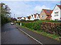
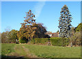
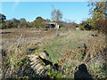
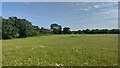
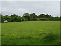
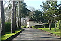
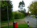

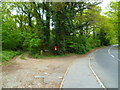
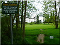
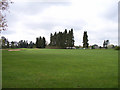
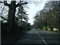
15 photos from this area
Area Information
Key information about the SL2 4LE including its size, population, and administrative classification.
- Area Type
- Postcode
- Area Size
- 1.8 hectares
- Population
- 1872
- Population Density
- 446 people/km²
House Prices in SL2 4LE
14
Properties
£569,665
Average Sold Price
£115,000
Lowest Price
£962,000
Highest Price
Showing 14 properties
| Address | Type | Beds | Baths | Last Sale Price | Last Sale Date | |
|---|---|---|---|---|---|---|
| Garvale, 36 Rogers Lane, Stoke Poges, SL2 4LE | Detached | 4 | 2 | £950,000 | Jan 2023 | |
| 34 Rogers Lane, Stoke Poges, SL2 4LE | Retail | 5 | 3 | £962,000 | Aug 2022 | |
| 47 Rogers Lane, Stoke Poges, SL2 4LE | Detached | 3 | - | £723,000 | Sep 2021 | |
| 39 Rogers Lane, Stoke Poges, SL2 4LE | house | - | - | £680,000 | Sep 2016 | |
| 43 Rogers Lane, Stoke Poges, SL2 4LE | Detached | 4 | - | £640,000 | Jun 2015 | |
| 49 Rogers Lane, Stoke Poges, SL2 4LE | Detached | 3 | 1 | £540,000 | Mar 2014 | |
| 38 Rogers Lane, Stoke Poges, SL2 4LE | Detached | 3 | - | £425,000 | Feb 2014 | |
| 32 Rogers Lane, Stoke Poges, SL2 4LE | Detached | 4 | - | £540,000 | Jul 2010 | |
| 28 Rogers Lane, Stoke Poges, SL2 4LE | Chalet | 4 | 2 | £191,028 | Jan 2007 | |
| 45 Rogers Lane, Stoke Poges, SL2 4LE | Detached | - | - | £470,000 | Dec 2006 |
Page 1 of 2
Energy Efficiency in SL2 4LE
Amenities
Schools
| Rank | School | Type | Entry gender | Ages |
|---|
Explore more schools in this area
Go to Schools tabDemographics
Household Size
Family (3-5 people)
most common
Accommodation Type
Houses
most common
Tenure
74
majority
Ethnic Group
White
most common
Religion
N/A
most common
Household Composition
N/A
most common
Age
47
median
Adults (30-64 years)
most common
Household Deprivation
N/A
with no deprivation
NS-SEC
44
in Lower managerial occupations
Explore more demographic insights in this area
Go to Demographics tabPlanning
Planning Constraints
- Flood RiskPremium
- Ramsar Wetland SitesPremium
- Area of Outstanding Natural BeautyPremium
- Protected Nature ReservePremium
- Protected WoodlandPremium