Area Overview for SL2 4DH
Photos of SL2 4DH
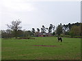
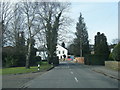
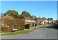
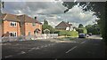
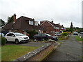
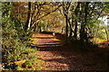
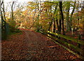
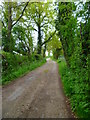
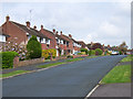
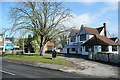
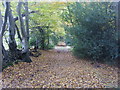
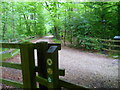
15 photos from this area
Area Information
Key information about the SL2 4DH including its size, population, and administrative classification.
- Area Type
- Postcode
- Area Size
- 5.4 hectares
- Population
- 1982
- Population Density
- 628 people/km²
House Prices in SL2 4DH
39
Properties
£319,002
Average Sold Price
£70,000
Lowest Price
£542,500
Highest Price
Showing 39 properties
| Address | Type | Beds | Baths | Last Sale Price | Last Sale Date | |
|---|---|---|---|---|---|---|
| 127 Vine Road, Stoke Poges, SL2 4DH | Terraced | 3 | 1 | £475,000 | Mar 2025 | |
| 109 Vine Road, Stoke Poges, SL2 4DH | Terraced | 3 | 1 | £441,000 | Feb 2025 | |
| 157 Vine Road, Stoke Poges, SL2 4DH | Retail | 2 | 1 | £350,000 | Oct 2022 | |
| 149 Vine Road, Stoke Poges, SL2 4DH | Flat | - | - | £315,000 | Sep 2022 | |
| 121 Vine Road, Stoke Poges, SL2 4DH | Terraced | 3 | 2 | £535,050 | Sep 2022 | |
| 145 Vine Road, Stoke Poges, SL2 4DH | Terraced | 4 | 2 | £460,000 | Sep 2021 | |
| 111 Vine Road, Stoke Poges, SL2 4DH | house | 3 | - | £425,000 | Jun 2021 | |
| 137 Vine Road, Stoke Poges, SL2 4DH | house | 3 | - | £400,000 | Feb 2019 | |
| 107 Vine Road, Stoke Poges, SL2 4DH | house | - | - | £420,000 | Nov 2018 | |
| 177 Vine Road, Stoke Poges, SL2 4DH | house | - | - | £542,500 | Jul 2017 |
Page 1 of 4
Energy Efficiency in SL2 4DH
Amenities
Schools
| Rank | School | Type | Entry gender | Ages |
|---|
Explore more schools in this area
Go to Schools tabDemographics
Household Size
Family (3-5 people)
most common
Accommodation Type
Houses
most common
Tenure
71
majority
Ethnic Group
White
most common
Religion
N/A
most common
Household Composition
N/A
most common
Age
47
median
Adults (30-64 years)
most common
Household Deprivation
N/A
with no deprivation
NS-SEC
41
in Lower managerial occupations
Explore more demographic insights in this area
Go to Demographics tabPlanning
Planning Constraints
- Flood RiskPremium
- Ramsar Wetland SitesPremium
- Area of Outstanding Natural BeautyPremium
- Protected Nature ReservePremium
- Protected WoodlandPremium