Area Overview for SL2 2LY
Photos of SL2 2LY
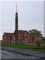
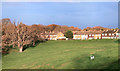
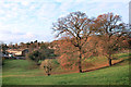
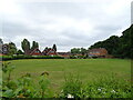
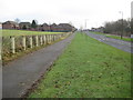
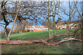
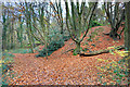
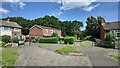
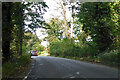
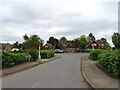
20 photos from this area
Area Information
Key information about the SL2 2LY including its size, population, and administrative classification.
- Area Type
- Postcode
- Area Size
- 8861 m²
- Population
- 2106
- Population Density
- 7232 people/km²
House Prices in SL2 2LY
31
Properties
£235,470
Average Sold Price
£66,000
Lowest Price
£440,000
Highest Price
Showing 31 properties
| Address | Type | Beds | Baths | Last Sale Price | Last Sale Date | |
|---|---|---|---|---|---|---|
| 243 Long Furlong Drive, Slough, SL2 2LY | Land | 2 | 1 | £295,000 | Jun 2023 | |
| 249 Long Furlong Drive, Slough, SL2 2LY | Retail | 3 | 2 | £440,000 | Oct 2022 | |
| 277 Long Furlong Drive, Slough, SL2 2LY | house | - | - | £300,000 | Mar 2022 | |
| 267 Long Furlong Drive, Slough, SL2 2LY | Terraced | 3 | 1 | £310,000 | Dec 2019 | |
| 263 Long Furlong Drive, Slough, SL2 2LY | house | - | - | £330,000 | Jul 2018 | |
| 221 Long Furlong Drive, Slough, SL2 2LY | Terraced | 3 | 1 | £317,000 | Jan 2018 | |
| 251 Long Furlong Drive, Slough, SL2 2LY | Terraced | 3 | 1 | £322,000 | Sep 2017 | |
| 261 Long Furlong Drive, Slough, SL2 2LY | Terraced | 2 | 1 | £308,000 | Nov 2016 | |
| 231 Long Furlong Drive, Slough, SL2 2LY | house | - | - | £270,000 | Aug 2015 | |
| 229 Long Furlong Drive, Slough, SL2 2LY | Terraced | 3 | 1 | £264,950 | Jul 2015 |
Page 1 of 4
Energy Efficiency in SL2 2LY
Amenities
Schools
| Rank | School | Type | Entry gender | Ages |
|---|
Explore more schools in this area
Go to Schools tabDemographics
Household Size
Family (3-5 people)
most common
Accommodation Type
Houses
most common
Tenure
56
majority
Ethnic Group
White
most common
Religion
N/A
most common
Household Composition
N/A
most common
Age
47
median
Adults (30-64 years)
most common
Household Deprivation
N/A
with no deprivation
NS-SEC
29
in Lower managerial occupations
Explore more demographic insights in this area
Go to Demographics tabPlanning
Planning Constraints
- Flood RiskPremium
- Ramsar Wetland SitesPremium
- Area of Outstanding Natural BeautyPremium
- Protected Nature ReservePremium
- Protected WoodlandPremium