Area Overview for SL1 8JW
Photos of SL1 8JW
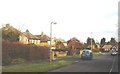
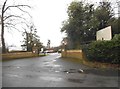
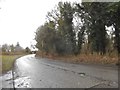
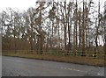
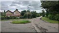
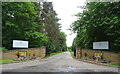
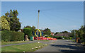
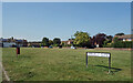
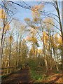
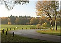
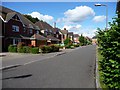
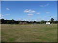
15 photos from this area
Area Information
Key information about the SL1 8JW including its size, population, and administrative classification.
- Area Type
- Postcode
- Area Size
- 1.3 hectares
- Population
- 1743
- Population Density
- 1400 people/km²
House Prices in SL1 8JW
14
Properties
£501,106
Average Sold Price
£180,000
Lowest Price
£835,000
Highest Price
Showing 14 properties
| Address | Type | Beds | Baths | Last Sale Price | Last Sale Date | |
|---|---|---|---|---|---|---|
| 24 Pink Lane, Burnham, SL1 8JW | Detached | 4 | 3 | £835,000 | Sep 2021 | |
| 28 Pink Lane, Burnham, SL1 8JW | house | - | - | £615,000 | Jun 2020 | |
| 32 Pink Lane, Burnham, SL1 8JW | Bungalow | - | - | £515,000 | Mar 2020 | |
| 26 Pink Lane, Burnham, SL1 8JW | Semi-detached | - | - | £520,000 | Sep 2007 | |
| Millstone, 32A Pink Lane, Burnham, SL1 8JW | Detached | - | - | £495,000 | Jan 2006 | |
| Sunnyside Up, 36 Pink Lane, Burnham, SL1 8JW | Detached | - | - | £385,000 | May 2004 | |
| 30 Pink Lane, Burnham, SL1 8JW | Detached | - | - | £499,950 | Jan 2004 | |
| 30A Pink Lane, Burnham, SL1 8JW | Detached | - | - | £465,000 | Nov 2001 | |
| 16 Pink Lane, Burnham, SL1 8JW | Bungalow | 2 | 1 | £180,000 | Mar 1999 | |
| Foxley, 14A Pink Lane, Burnham, SL1 8JW | Detached | 3 | 1 | - | - |
Page 1 of 2
Energy Efficiency in SL1 8JW
Amenities
Schools
| Rank | School | Type | Entry gender | Ages |
|---|
Explore more schools in this area
Go to Schools tabDemographics
Household Size
Family (3-5 people)
most common
Accommodation Type
Houses
most common
Tenure
89
majority
Ethnic Group
White
most common
Religion
N/A
most common
Household Composition
N/A
most common
Age
47
median
Adults (30-64 years)
most common
Household Deprivation
N/A
with no deprivation
NS-SEC
49
in Lower managerial occupations
Explore more demographic insights in this area
Go to Demographics tabPlanning
Planning Constraints
- Flood RiskPremium
- Ramsar Wetland SitesPremium
- Area of Outstanding Natural BeautyPremium
- Protected Nature ReservePremium
- Protected WoodlandPremium