Area Overview for SL1 5EA
Photos of SL1 5EA
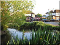
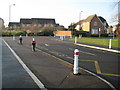
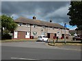
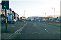
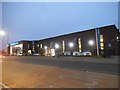
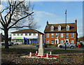
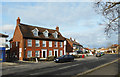
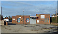
24 photos from this area
Area Information
Key information about the SL1 5EA including its size, population, and administrative classification.
- Area Type
- Postcode
- Area Size
- 1.2 hectares
- Population
- 1472
- Population Density
- 5737 people/km²
House Prices in SL1 5EA
39
Properties
£274,638
Average Sold Price
£134,950
Lowest Price
£472,565
Highest Price
Showing 39 properties
| Address | Type | Beds | Baths | Last Sale Price | Last Sale Date | |
|---|---|---|---|---|---|---|
| 134A Lower Cippenham Lane, Slough, SL1 5EA | Flat | - | - | £385,000 | Dec 2020 | |
| 148 Lower Cippenham Lane, Slough, SL1 5EA | Maisonette | 2 | 1 | £250,000 | Aug 2016 | |
| 144A Lower Cippenham Lane, Slough, SL1 5EA | Maisonette | 2 | - | £134,950 | Feb 2014 | |
| 174 Lower Cippenham Lane, Slough, SL1 5EA | Semi-detached | 5 | 3 | £210,000 | May 2009 | |
| 130 Lower Cippenham Lane, Slough, SL1 5EA | house | - | - | £220,000 | Feb 2007 | |
| 176 Lower Cippenham Lane, Slough, SL1 5EA | Semi-detached | - | - | £249,950 | Jun 2003 | |
| Reach, 178 Lower Cippenham Lane, Slough, SL1 5EA | Retirement | - | - | £472,565 | Nov 1998 | |
| 140 Lower Cippenham Lane, Slough, SL1 5EA | Retail | - | - | - | - | |
| Managers Accommodation, The Swan, 138 Lower Cippenham Lane, Slough, SL1 5EA | undefined | - | - | - | - | |
| 142A Lower Cippenham Lane, Slough, SL1 5EA | Flat | 2 | 1 | - | - |
Page 1 of 4
Energy Efficiency in SL1 5EA
Amenities
Schools
| Rank | School | Type | Entry gender | Ages |
|---|
Explore more schools in this area
Go to Schools tabDemographics
Household Size
Family (3-5 people)
most common
Accommodation Type
Houses
most common
Tenure
67
majority
Ethnic Group
White
most common
Religion
N/A
most common
Household Composition
N/A
most common
Age
47
median
Adults (30-64 years)
most common
Household Deprivation
N/A
with no deprivation
NS-SEC
29
in Lower managerial occupations
Explore more demographic insights in this area
Go to Demographics tabPlanning
Planning Constraints
- Flood RiskPremium
- Ramsar Wetland SitesPremium
- Area of Outstanding Natural BeautyPremium
- Protected Nature ReservePremium
- Protected WoodlandPremium