Area Overview for SL1 3RA
Photos of SL1 3RA
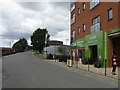
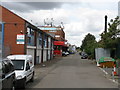
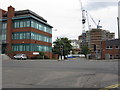
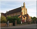
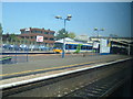
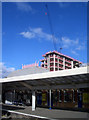
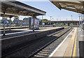
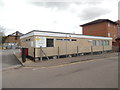
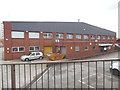
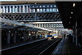
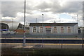
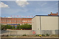
100 photos from this area
Area Information
Key information about the SL1 3RA including its size, population, and administrative classification.
- Area Type
- Postcode
- Area Size
- 6870 m²
- Population
- 2313
- Population Density
- 7847 people/km²
House Prices in SL1 3RA
19
Properties
£231,107
Average Sold Price
£90,000
Lowest Price
£480,000
Highest Price
Showing 19 properties
| Address | Type | Beds | Baths | Last Sale Price | Last Sale Date | |
|---|---|---|---|---|---|---|
| 123 Belgrave Road, Slough, SL1 3RA | Semi-detached | - | - | £480,000 | Sep 2023 | |
| 105 Belgrave Road, Slough, SL1 3RA | Maisonette | - | - | £150,000 | Jan 2016 | |
| 99 Belgrave Road, Slough, SL1 3RA | house | - | - | £235,000 | Apr 2013 | |
| 93 Belgrave Road, Slough, SL1 3RA | Semi-detached | 4 | 2 | £225,000 | Feb 2010 | |
| 105A Belgrave Road, Slough, SL1 3RA | Terraced | 2 | - | £90,000 | May 2009 | |
| 119 Belgrave Road, Slough, SL1 3RA | Semi-detached | - | - | £250,000 | Jun 2005 | |
| 113 Belgrave Road, Slough, SL1 3RA | Terraced | - | - | £187,750 | Nov 2003 | |
| 91 Belgrave Road, Slough, SL1 3RA | Terraced | 3 | - | - | - | |
| 107 Belgrave Road, Slough, SL1 3RA | Terraced | 2 | - | - | - | |
| 97 Belgrave Road, Slough, SL1 3RA | Bungalow | - | - | - | - |
Page 1 of 2
Energy Efficiency in SL1 3RA
Amenities
Schools
| Rank | School | Type | Entry gender | Ages |
|---|
Explore more schools in this area
Go to Schools tabDemographics
Household Size
Family (3-5 people)
most common
Accommodation Type
Houses
most common
Tenure
46
majority
Ethnic Group
asian_total
most common
Religion
N/A
most common
Household Composition
N/A
most common
Age
47
median
Adults (30-64 years)
most common
Household Deprivation
N/A
with no deprivation
NS-SEC
22
in Lower managerial occupations
Explore more demographic insights in this area
Go to Demographics tabPlanning
Planning Constraints
- Flood RiskPremium
- Ramsar Wetland SitesPremium
- Area of Outstanding Natural BeautyPremium
- Protected Nature ReservePremium
- Protected WoodlandPremium