Area Overview for SL1 3HE
Photos of SL1 3HE
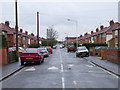
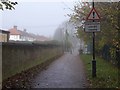
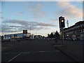
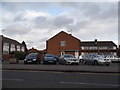
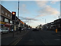
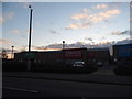
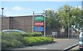
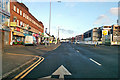
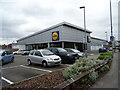
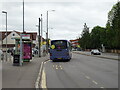
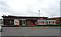
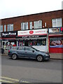
26 photos from this area
Area Information
Key information about the SL1 3HE including its size, population, and administrative classification.
- Area Type
- Postcode
- Area Size
- 1.7 hectares
- Population
- 2454
- Population Density
- 4845 people/km²
House Prices in SL1 3HE
24
Properties
£213,125
Average Sold Price
£60,000
Lowest Price
£360,000
Highest Price
Showing 24 properties
| Address | Type | Beds | Baths | Last Sale Price | Last Sale Date | |
|---|---|---|---|---|---|---|
| 33 Belfast Avenue, Slough, SL1 3HE | house | - | - | £360,000 | Sep 2021 | |
| 5 Belfast Avenue, Slough, SL1 3HE | house | - | - | £165,000 | Sep 2020 | |
| 39A Belfast Avenue, Slough, SL1 3HE | house | 3 | - | £355,000 | May 2016 | |
| 39 Belfast Avenue, Slough, SL1 3HE | house | - | - | £230,000 | Oct 2014 | |
| 3 Belfast Avenue, Slough, SL1 3HE | Terraced | 4 | 1 | £200,000 | Oct 2013 | |
| 1 Belfast Avenue, Slough, SL1 3HE | Semi-detached | - | - | £205,000 | Dec 2005 | |
| 21 Belfast Avenue, Slough, SL1 3HE | Semi-detached | - | - | £130,000 | Jul 2000 | |
| 7 Belfast Avenue, Slough, SL1 3HE | Flat | - | - | £60,000 | May 1997 | |
| Property Rear Of, 15 Belfast Avenue, Slough, SL1 3HE | undefined | - | - | - | - | |
| 27A Belfast Avenue, Slough, SL1 3HE | Terraced | 3 | 1 | - | - |
Page 1 of 3
Energy Efficiency in SL1 3HE
Amenities
Schools
| Rank | School | Type | Entry gender | Ages |
|---|
Explore more schools in this area
Go to Schools tabDemographics
Household Size
Family (3-5 people)
most common
Accommodation Type
Houses
most common
Tenure
45
majority
Ethnic Group
asian_total
most common
Religion
N/A
most common
Household Composition
N/A
most common
Age
47
median
Adults (30-64 years)
most common
Household Deprivation
N/A
with no deprivation
NS-SEC
19
in Lower managerial occupations
Explore more demographic insights in this area
Go to Demographics tabPlanning
Planning Constraints
- Flood RiskPremium
- Ramsar Wetland SitesPremium
- Area of Outstanding Natural BeautyPremium
- Protected Nature ReservePremium
- Protected WoodlandPremium