Area Overview for SL1 1UL
Photos of SL1 1UL
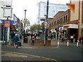
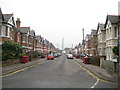
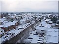
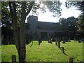
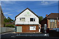
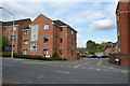
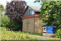
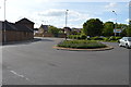
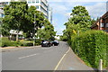
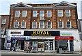
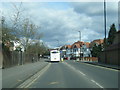
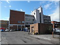
77 photos from this area
Area Information
Key information about the SL1 1UL including its size, population, and administrative classification.
- Area Type
- Postcode
- Area Size
- 7857 m²
- Population
- 2214
- Population Density
- 7115 people/km²
House Prices in SL1 1UL
47
Properties
£110,036
Average Sold Price
£34,500
Lowest Price
£235,000
Highest Price
Showing 47 properties
| Address | Type | Beds | Baths | Last Sale Price | Last Sale Date | |
|---|---|---|---|---|---|---|
| 3 Stratfield Road, Slough, SL1 1UL | Flat | - | - | £235,000 | Jan 2022 | |
| 5 Stratfield Road, Slough, SL1 1UL | Flat | - | - | £165,000 | Feb 2015 | |
| 15 Stratfield Road, Slough, SL1 1UL | Maisonette | - | - | £136,000 | Dec 2011 | |
| 29 Stratfield Road, Slough, SL1 1UL | Flat | - | - | £125,000 | Mar 2010 | |
| 59 Stratfield Road, Slough, SL1 1UL | Flat | - | - | £102,000 | Oct 2007 | |
| 57 Stratfield Road, Slough, SL1 1UL | Flat | 2 | 1 | £124,000 | Apr 2007 | |
| 35 Stratfield Road, Slough, SL1 1UL | Flat | - | - | £130,000 | Jan 2007 | |
| 53 Stratfield Road, Slough, SL1 1UL | Flat | - | - | £124,500 | Jan 2006 | |
| 25 Stratfield Road, Slough, SL1 1UL | Flat | - | - | £126,000 | Nov 2005 | |
| 21 Stratfield Road, Slough, SL1 1UL | Flat | 2 | 1 | £72,000 | May 2004 |
Page 1 of 5
Energy Efficiency in SL1 1UL
Amenities
Schools
| Rank | School | Type | Entry gender | Ages |
|---|
Explore more schools in this area
Go to Schools tabDemographics
Household Size
Family (3-5 people)
most common
Accommodation Type
Houses
most common
Tenure
42
majority
Ethnic Group
asian_total
most common
Religion
N/A
most common
Household Composition
N/A
most common
Age
47
median
Adults (30-64 years)
most common
Household Deprivation
N/A
with no deprivation
NS-SEC
19
in Lower managerial occupations
Explore more demographic insights in this area
Go to Demographics tabPlanning
Planning Constraints
- Flood RiskPremium
- Ramsar Wetland SitesPremium
- Area of Outstanding Natural BeautyPremium
- Protected Nature ReservePremium
- Protected WoodlandPremium