Area Overview for SL0 9AQ
Photos of SL0 9AQ
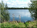

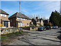

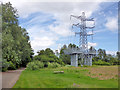
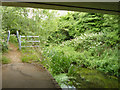
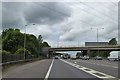

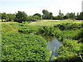
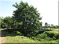
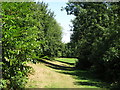
50 photos from this area
Area Information
Key information about the SL0 9AQ including its size, population, and administrative classification.
- Area Type
- Postcode
- Area Size
- 6.5 hectares
- Population
- 2050
- Population Density
- 398 people/km²
House Prices in SL0 9AQ
11
Properties
£421,000
Average Sold Price
£310,000
Lowest Price
£530,000
Highest Price
Showing 11 properties
| Address | Type | Beds | Baths | Last Sale Price | Last Sale Date | |
|---|---|---|---|---|---|---|
| 5 Thorney Mill Road, Iver, SL0 9AQ | Semi-detached | 3 | 2 | £530,000 | Mar 2021 | |
| 9 Thorney Mill Road, Iver, SL0 9AQ | house | - | - | £400,000 | Mar 2021 | |
| 1 Thorney Mill Road, Iver, SL0 9AQ | house | - | - | £500,000 | Mar 2018 | |
| 3 Thorney Mill Road, Iver, SL0 9AQ | Semi-detached | 3 | - | £310,000 | Aug 2011 | |
| 11 Thorney Mill Road, Iver, SL0 9AQ | Semi-detached | - | - | £365,000 | Sep 2004 | |
| Tennis 83M From Thorney Weir Fisheries, Thorney Mill Road 20M From Unnamed Road, Iver Footpath 21, Iver, SL0 9AQ | Leisure | - | - | - | - | |
| 7 Thorney Mill Road, Iver, SL0 9AQ | house | - | - | - | - | |
| Thorney Weir House, Thorney Mill Road, Iver, SL0 9AQ | office_workshop | - | - | - | - | |
| Orchard Cottage, Thorney Mill Road, Iver, SL0 9AQ | general_industrial | - | - | - | - | |
| The Cottage, Orchard Cottage, Thorney Mill Road, Iver, SL0 9AQ | Detached | - | - | - | - |
Page 1 of 2
Energy Efficiency in SL0 9AQ
Amenities
Schools
| Rank | School | Type | Entry gender | Ages |
|---|
Explore more schools in this area
Go to Schools tabDemographics
Household Size
Family (3-5 people)
most common
Accommodation Type
Houses
most common
Tenure
59
majority
Ethnic Group
White
most common
Religion
N/A
most common
Household Composition
N/A
most common
Age
47
median
Adults (30-64 years)
most common
Household Deprivation
N/A
with no deprivation
NS-SEC
37
in Lower managerial occupations
Explore more demographic insights in this area
Go to Demographics tabPlanning
Planning Constraints
- Flood RiskPremium
- Ramsar Wetland SitesPremium
- Area of Outstanding Natural BeautyPremium
- Protected Nature ReservePremium
- Protected WoodlandPremium