Area Overview for SL0 0ET
Photos of SL0 0ET
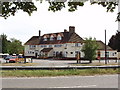
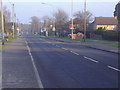
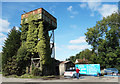
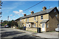
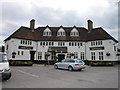
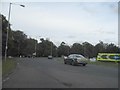
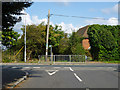
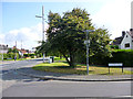
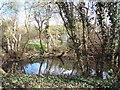
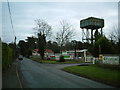
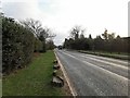
12 photos from this area
Area Information
Key information about the SL0 0ET including its size, population, and administrative classification.
- Area Type
- Postcode
- Area Size
- 1.7 hectares
- Population
- 1722
- Population Density
- 1324 people/km²
House Prices in SL0 0ET
25
Properties
£374,886
Average Sold Price
£88,000
Lowest Price
£675,000
Highest Price
Showing 25 properties
| Address | Type | Beds | Baths | Last Sale Price | Last Sale Date | |
|---|---|---|---|---|---|---|
| 113 Swallow Street, Iver, SL0 0ET | Semi-detached | 4 | 1 | £560,000 | Mar 2025 | |
| 93 Swallow Street, Iver, SL0 0ET | Retail | 3 | 1 | £522,000 | Aug 2022 | |
| 89 Swallow Street, Iver, SL0 0ET | Semi-detached | 3 | 1 | £515,000 | Jul 2021 | |
| 73 Swallow Street, Iver, SL0 0ET | Detached | 4 | 3 | £675,000 | Aug 2016 | |
| 75 Swallow Street, Iver, SL0 0ET | house | 4 | - | £587,500 | Oct 2015 | |
| 83 Swallow Street, Iver, SL0 0ET | house | - | - | £465,000 | Oct 2015 | |
| 109 Swallow Street, Iver, SL0 0ET | Semi-detached | 4 | 3 | £435,000 | Jun 2015 | |
| 87 Swallow Street, Iver, SL0 0ET | Semi-detached | 4 | 2 | £395,000 | Jan 2015 | |
| 91 Swallow Street, Iver, SL0 0ET | house | 3 | - | £295,000 | Jun 2013 | |
| 85 Swallow Street, Iver, SL0 0ET | Terraced | - | - | £315,000 | Aug 2012 |
Page 1 of 3
Energy Efficiency in SL0 0ET
Amenities
Schools
| Rank | School | Type | Entry gender | Ages |
|---|
Explore more schools in this area
Go to Schools tabDemographics
Household Size
Family (3-5 people)
most common
Accommodation Type
Houses
most common
Tenure
88
majority
Ethnic Group
White
most common
Religion
N/A
most common
Household Composition
N/A
most common
Age
47
median
Adults (30-64 years)
most common
Household Deprivation
N/A
with no deprivation
NS-SEC
43
in Lower managerial occupations
Explore more demographic insights in this area
Go to Demographics tabPlanning
Planning Constraints
- Flood RiskPremium
- Ramsar Wetland SitesPremium
- Area of Outstanding Natural BeautyPremium
- Protected Nature ReservePremium
- Protected WoodlandPremium