Area Overview for Seaford Central Ward
Photos of Seaford Central Ward

Area Information
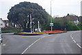
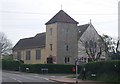
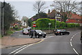
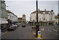
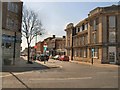
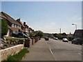
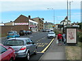
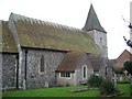
Living in Seaford Central Ward offers a compact, defined lifestyle within an area covering just 1.1 km². This small district borough unitary ward sits in East Sussex, England, creating a neighbourhood where proximity to amenities is immediate rather than an aspiration. The scale of the ward means residents navigate a familiar environment quickly without the sprawl associated with larger towns. You will find that daily commutes often involve short distances, supporting a self-contained routine where local services are readily accessible. The ward is established and mature, reflecting its role as a central hub for the wider Seaford region. Prospective buyers looking at homes in Seaford Central Ward enter a space where boundaries are clear and the community is tightly woven. This location provides a practical foundation for life in the county, balancing convenience with the specific character of a designated ward. Understanding the physical extent of this 1.1 km² area helps you grasp the pace of life here, which moves at a steady, predictable rhythm.
- Area Type
- District Borough Unitary Ward
- Area Size
- 1.1 km²
- Population
- Not available
- Population Density
- Not available
Demographics
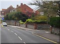
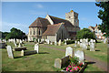
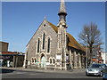
The community in Seaford Central Ward is defined by a notably older population, with a median age of 70 years. This demographic profile suggests the area attracts retirees or long-term residents who have chosen a quieter stage of life. Sixty-five per cent of households in Seaford Central Ward are owner-occupied, indicating strong stability and entrenched local connections. This high ownership rate contrasts with areas where rental markets dominate, suggesting you will encounter more long-term neighbours than transient tenants. The data does not specify detailed breakdowns for household composition, predominant ethnic group, or religious affiliations, but the overarching picture points to a settled community. Deprivation implications are difficult to quantify without specific indices, yet the low crime risk provides a clear indicator of quality of life. With a safety score of 67 out of 100, the ward records below-average crime rates compared to the national backdrop. Residents enjoy a secure environment where property values are likely supported by these stability metrics. The age profile means local businesses and services may cater specifically to an older demographic, influencing the social fabric of Seaford Central Ward.
Household Size
Accommodation Type
Tenure
Ethnic Group
Religion
Household Composition
Age
Household Deprivation
NS-SEC
Explore more demographic insights in this area
Go to Demographics tabPlanning
Planning Constraints
- Flood RiskPremium
- Ramsar Wetland SitesPremium
- Area of Outstanding Natural BeautyPremium
- Protected Nature ReservePremium
- Protected WoodlandPremium
- Crime RiskPremium