Area Overview for RH8 9PF
Photos of RH8 9PF
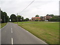
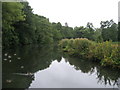
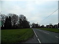
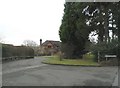
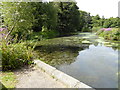

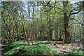
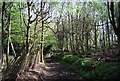
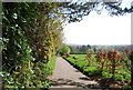

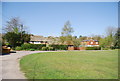
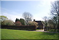
35 photos from this area
Area Information
Key information about the RH8 9PF including its size, population, and administrative classification.
- Area Type
- Postcode
- Area Size
- 42.7 hectares
- Population
- 1513
- Population Density
- 230 people/km²
House Prices in RH8 9PF
23
Properties
£771,750
Average Sold Price
£350,000
Lowest Price
£2,000,000
Highest Price
Showing 23 properties
| Address | Type | Beds | Baths | Last Sale Price | Last Sale Date | |
|---|---|---|---|---|---|---|
| 1, Stone Cottages, Broadham Green Road, Oxted, RH8 9PF | Semi-detached | 2 | 1 | £350,000 | May 2024 | |
| Orchard House, Broadham Green Road, Oxted, RH8 9PF | house | - | - | £2,000,000 | Nov 2021 | |
| Mayflower Cottage, Broadham Green Road, Oxted, RH8 9PF | house | - | - | £950,000 | Apr 2013 | |
| William Blake Cottage, Broadham Green Road, Oxted, RH8 9PF | Semi-detached | - | - | £425,000 | Dec 2008 | |
| Dykes, Broadham Green Road, Oxted, RH8 9PF | house | 2 | - | £525,500 | Sep 2005 | |
| The Old Cottage, Broadham Green Road, Oxted, RH8 9PF | Detached | 6 | 3 | £380,000 | Nov 1996 | |
| Oxted Place West, Broadham Green Road, Oxted, RH8 9PF | Terraced | 3 | 3 | - | - | |
| Broadham Oak, Broadham Green Road, Oxted, RH8 9PF | Detached | 3 | 1 | - | - | |
| Former Caravan, Dykes, Broadham Green Road, Oxted, RH8 9PF | Mobile Home | - | - | - | - | |
| Oxted Place East, Broadham Green Road, Oxted, RH8 9PF | house | - | - | - | - |
Page 1 of 3
Energy Efficiency in RH8 9PF
Amenities
Schools
| Rank | School | Type | Entry gender | Ages |
|---|
Explore more schools in this area
Go to Schools tabDemographics
Household Size
Two person
most common
Accommodation Type
Houses
most common
Tenure
58
majority
Ethnic Group
White
most common
Religion
N/A
most common
Household Composition
N/A
most common
Age
47
median
Adults (30-64 years)
most common
Household Deprivation
N/A
with no deprivation
NS-SEC
33
in Lower managerial occupations
Explore more demographic insights in this area
Go to Demographics tabPlanning
Planning Constraints
- Flood RiskPremium
- Ramsar Wetland SitesPremium
- Area of Outstanding Natural BeautyPremium
- Protected Nature ReservePremium
- Protected WoodlandPremium