Area Overview for RH8 9JN
Photos of RH8 9JN
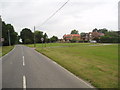
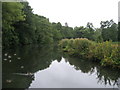
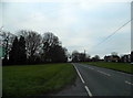
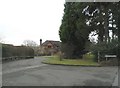
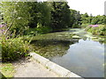
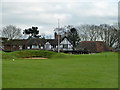
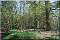
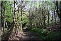
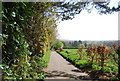

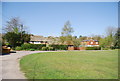
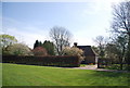
35 photos from this area
Area Information
Key information about the RH8 9JN including its size, population, and administrative classification.
- Area Type
- Postcode
- Area Size
- 6.7 hectares
- Population
- 1343
- Population Density
- 115 people/km²
House Prices in RH8 9JN
13
Properties
£2,097,555
Average Sold Price
£350,000
Lowest Price
£3,300,000
Highest Price
Showing 13 properties
| Address | Type | Beds | Baths | Last Sale Price | Last Sale Date | |
|---|---|---|---|---|---|---|
| Fairways, Neb Lane, Oxted, RH8 9JN | Detached | 5 | 3 | £1,925,000 | Nov 2023 | |
| White Barn House, Neb Lane, Oxted, RH8 9JN | Detached | 6 | 4 | £2,750,000 | Jul 2023 | |
| Fairfax House, Neb Lane, Oxted, RH8 9JN | Detached | 7 | 7 | £3,300,000 | Jan 2021 | |
| Spinners, Neb Lane, Oxted, RH8 9JN | house | - | - | £1,303,000 | Nov 2020 | |
| The Firs, Neb Lane, Oxted, RH8 9JN | Detached | 6 | 3 | £1,850,000 | Oct 2020 | |
| Little Court, Neb Lane, Oxted, RH8 9JN | house | 6 | - | £3,100,000 | Oct 2018 | |
| Neb Corner, Neb Lane, Oxted, RH8 9JN | Detached | 7 | - | £2,299,999 | Mar 2014 | |
| Bonaly Manor, Neb Lane, Oxted, RH8 9JN | Detached | 7 | - | £2,000,000 | Dec 2001 | |
| Neb House, Neb Lane, Oxted, RH8 9JN | Detached | - | - | £350,000 | Jan 1996 | |
| 1, Little Court Cottage, Neb Lane, Oxted, RH8 9JN | Flat | - | - | - | - |
Page 1 of 2
Energy Efficiency in RH8 9JN
Amenities
Schools
| Rank | School | Type | Entry gender | Ages |
|---|
Explore more schools in this area
Go to Schools tabDemographics
Household Size
Two person
most common
Accommodation Type
Houses
most common
Tenure
80
majority
Ethnic Group
White
most common
Religion
N/A
most common
Household Composition
N/A
most common
Age
47
median
Adults (30-64 years)
most common
Household Deprivation
N/A
with no deprivation
NS-SEC
50
in Lower managerial occupations
Explore more demographic insights in this area
Go to Demographics tabPlanning
Planning Constraints
- Flood RiskPremium
- Ramsar Wetland SitesPremium
- Area of Outstanding Natural BeautyPremium
- Protected Nature ReservePremium
- Protected WoodlandPremium