Area Overview for RH8 9DU
Photos of RH8 9DU
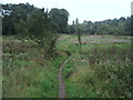
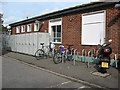
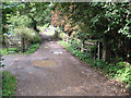
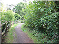
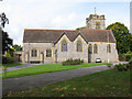
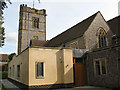
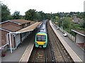
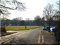
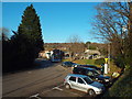
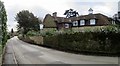
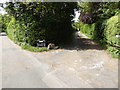
55 photos from this area
Area Information
Key information about the RH8 9DU including its size, population, and administrative classification.
- Area Type
- Postcode
- Area Size
- 4.1 hectares
- Population
- 1368
- Population Density
- 1665 people/km²
House Prices in RH8 9DU
30
Properties
£671,354
Average Sold Price
£190,000
Lowest Price
£1,275,000
Highest Price
Showing 30 properties
| Address | Type | Beds | Baths | Last Sale Price | Last Sale Date | |
|---|---|---|---|---|---|---|
| Springbank, 40 Oast Road, Hurst Green, RH8 9DU | Bungalow | 2 | 2 | £1,250,000 | Oct 2023 | |
| 39 Oast Road, Hurst Green, RH8 9DU | Detached | 4 | 1 | £820,000 | Jan 2023 | |
| 23 Oast Road, Hurst Green, RH8 9DU | Detached | 4 | 2 | £1,100,000 | Jan 2022 | |
| 45 Oast Road, Hurst Green, RH8 9DU | Bungalow | - | - | £800,000 | Aug 2021 | |
| 28 Oast Road, Hurst Green, RH8 9DU | Detached | 4 | - | £837,500 | Sep 2017 | |
| 18 Oast Road, Hurst Green, RH8 9DU | house | - | - | £1,275,000 | Aug 2017 | |
| 20 Oast Road, Hurst Green, RH8 9DU | house | - | - | £1,250,000 | May 2017 | |
| 30 Oast Road, Hurst Green, RH8 9DU | Detached | 4 | - | £890,000 | Jan 2015 | |
| 35 Oast Road, Hurst Green, RH8 9DU | Detached | 5 | 3 | £506,220 | Mar 2014 | |
| 33 Oast Road, Hurst Green, RH8 9DU | house | 3 | - | £375,000 | Jul 2012 |
Page 1 of 3
Energy Efficiency in RH8 9DU
Amenities
Schools
| Rank | School | Type | Entry gender | Ages |
|---|
Explore more schools in this area
Go to Schools tabDemographics
Household Size
Family (3-5 people)
most common
Accommodation Type
Houses
most common
Tenure
91
majority
Ethnic Group
White
most common
Religion
N/A
most common
Household Composition
N/A
most common
Age
47
median
Adults (30-64 years)
most common
Household Deprivation
N/A
with no deprivation
NS-SEC
58
in Lower managerial occupations
Explore more demographic insights in this area
Go to Demographics tabPlanning
Planning Constraints
- Flood RiskPremium
- Ramsar Wetland SitesPremium
- Area of Outstanding Natural BeautyPremium
- Protected Nature ReservePremium
- Protected WoodlandPremium