Area Overview for RH7 6DS
Photos of RH7 6DS
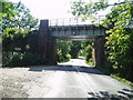
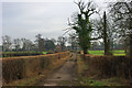
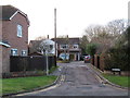
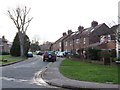
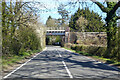
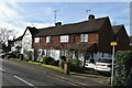
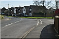
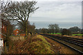
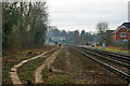
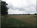
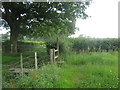
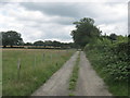
24 photos from this area
Area Information
Key information about the RH7 6DS including its size, population, and administrative classification.
- Area Type
- Postcode
- Area Size
- 2.3 hectares
- Population
- 1484
- Population Density
- 1686 people/km²
House Prices in RH7 6DS
41
Properties
£253,818
Average Sold Price
£71,000
Lowest Price
£445,000
Highest Price
Showing 41 properties
| Address | Type | Beds | Baths | Last Sale Price | Last Sale Date | |
|---|---|---|---|---|---|---|
| 15 Little Lullenden, Lingfield, RH7 6DS | Terraced | 4 | 1 | £410,000 | Jul 2025 | |
| 8 Little Lullenden, Lingfield, RH7 6DS | Semi-detached | 3 | 2 | £440,000 | Apr 2025 | |
| 28 Little Lullenden, Lingfield, RH7 6DS | Semi-detached | 3 | 1 | £445,000 | May 2023 | |
| 35 Little Lullenden, Lingfield, RH7 6DS | Terraced | 3 | - | £345,000 | Jan 2021 | |
| 25 Little Lullenden, Lingfield, RH7 6DS | Semi-detached | 3 | 1 | £415,000 | Oct 2019 | |
| 21 Little Lullenden, Lingfield, RH7 6DS | Semi-detached | 4 | 2 | £440,000 | Apr 2017 | |
| 11 Little Lullenden, Lingfield, RH7 6DS | Semi-detached | 3 | 1 | £415,000 | Aug 2016 | |
| 26 Little Lullenden, Lingfield, RH7 6DS | house | 3 | - | £250,000 | Aug 2011 | |
| 9 Little Lullenden, Lingfield, RH7 6DS | house | - | - | £270,500 | Aug 2009 | |
| 23 Little Lullenden, Lingfield, RH7 6DS | Semi-detached | - | - | £299,950 | Apr 2008 |
Page 1 of 5
Energy Efficiency in RH7 6DS
Amenities
Schools
| Rank | School | Type | Entry gender | Ages |
|---|
Explore more schools in this area
Go to Schools tabDemographics
Household Size
Family (3-5 people)
most common
Accommodation Type
Houses
most common
Tenure
81
majority
Ethnic Group
White
most common
Religion
N/A
most common
Household Composition
N/A
most common
Age
47
median
Adults (30-64 years)
most common
Household Deprivation
N/A
with no deprivation
NS-SEC
42
in Lower managerial occupations
Explore more demographic insights in this area
Go to Demographics tabPlanning
Planning Constraints
- Flood RiskPremium
- Ramsar Wetland SitesPremium
- Area of Outstanding Natural BeautyPremium
- Protected Nature ReservePremium
- Protected WoodlandPremium