Area Overview for RH7 6AW
Photos of RH7 6AW
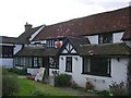
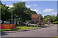
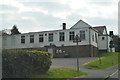
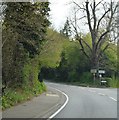
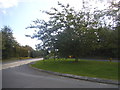
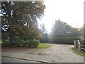
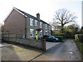
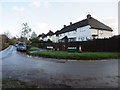
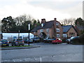
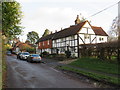
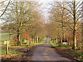
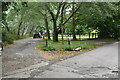
53 photos from this area
Area Information
Key information about the RH7 6AW including its size, population, and administrative classification.
- Area Type
- Postcode
- Area Size
- 2.1 hectares
- Population
- 1983
- Population Density
- 171 people/km²
House Prices in RH7 6AW
36
Properties
£390,083
Average Sold Price
£105,000
Lowest Price
£570,000
Highest Price
Showing 36 properties
| Address | Type | Beds | Baths | Last Sale Price | Last Sale Date | |
|---|---|---|---|---|---|---|
| 45 Locks Meadow, Dormansland, RH7 6AW | Detached | 4 | 2 | £547,000 | Sep 2025 | |
| 14 Locks Meadow, Dormansland, RH7 6AW | Detached | 3 | 1 | £465,000 | Jan 2025 | |
| 8 Locks Meadow, Dormansland, RH7 6AW | Detached | 3 | 1 | £500,000 | Mar 2024 | |
| 5 Locks Meadow, Dormansland, RH7 6AW | Detached | 4 | 2 | £530,000 | Jan 2022 | |
| 17 Locks Meadow, Dormansland, RH7 6AW | Detached | 3 | 1 | £520,000 | Jul 2021 | |
| 15 Locks Meadow, Dormansland, RH7 6AW | house | - | - | £570,000 | Nov 2020 | |
| 19 Locks Meadow, Dormansland, RH7 6AW | house | - | - | £500,000 | Mar 2018 | |
| 9 Locks Meadow, Dormansland, RH7 6AW | Detached | 4 | 2 | £510,000 | Jun 2017 | |
| 21 Locks Meadow, Dormansland, RH7 6AW | Detached | 3 | 1 | £428,000 | Jun 2017 | |
| 16 Locks Meadow, Dormansland, RH7 6AW | Detached | 4 | 2 | £500,000 | Mar 2017 |
Page 1 of 4
Energy Efficiency in RH7 6AW
Amenities
Schools
| Rank | School | Type | Entry gender | Ages |
|---|
Explore more schools in this area
Go to Schools tabDemographics
Household Size
Family (3-5 people)
most common
Accommodation Type
Houses
most common
Tenure
76
majority
Ethnic Group
White
most common
Religion
N/A
most common
Household Composition
N/A
most common
Age
47
median
Adults (30-64 years)
most common
Household Deprivation
N/A
with no deprivation
NS-SEC
40
in Lower managerial occupations
Explore more demographic insights in this area
Go to Demographics tabPlanning
Planning Constraints
- Flood RiskPremium
- Ramsar Wetland SitesPremium
- Area of Outstanding Natural BeautyPremium
- Protected Nature ReservePremium
- Protected WoodlandPremium