Area Overview for RH6 8JX
Photos of RH6 8JX
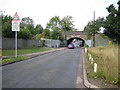
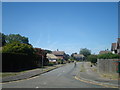
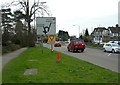
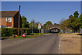
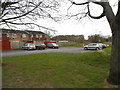
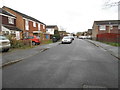
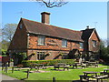
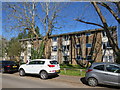
40 photos from this area
Area Information
Key information about the RH6 8JX including its size, population, and administrative classification.
- Area Type
- Postcode
- Area Size
- 8112 m²
- Population
- 1530
- Population Density
- 3481 people/km²
House Prices in RH6 8JX
23
Properties
£269,750
Average Sold Price
£165,000
Lowest Price
£358,000
Highest Price
Showing 23 properties
| Address | Type | Beds | Baths | Last Sale Price | Last Sale Date | |
|---|---|---|---|---|---|---|
| 75 Kingsley Road, Horley, RH6 8JX | Detached | 2 | 1 | £345,000 | Jan 2024 | |
| 81 Kingsley Road, Horley, RH6 8JX | Terraced | 3 | 1 | £358,000 | Aug 2023 | |
| 95 Kingsley Road, Horley, RH6 8JX | Terraced | 2 | 1 | £330,000 | Jun 2023 | |
| 67 Kingsley Road, Horley, RH6 8JX | Terraced | 2 | 1 | £340,000 | Oct 2022 | |
| 53 Kingsley Road, Horley, RH6 8JX | house | - | - | £348,000 | May 2021 | |
| 65 Kingsley Road, Horley, RH6 8JX | Terraced | 2 | 1 | £315,000 | Aug 2020 | |
| 69 Kingsley Road, Horley, RH6 8JX | Terraced | 2 | 1 | £253,000 | Feb 2020 | |
| 77 Kingsley Road, Horley, RH6 8JX | Terraced | 3 | 2 | £280,500 | Aug 2019 | |
| 61 Kingsley Road, Horley, RH6 8JX | Terraced | 3 | - | £319,000 | Jun 2019 | |
| 57 Kingsley Road, Horley, RH6 8JX | Terraced | 3 | 1 | £291,000 | Oct 2018 |
Page 1 of 3
Energy Efficiency in RH6 8JX
Amenities
Schools
| Rank | School | Type | Entry gender | Ages |
|---|
Explore more schools in this area
Go to Schools tabDemographics
Household Size
Two person
most common
Accommodation Type
Houses
most common
Tenure
84
majority
Ethnic Group
White
most common
Religion
N/A
most common
Household Composition
N/A
most common
Age
47
median
Adults (30-64 years)
most common
Household Deprivation
N/A
with no deprivation
NS-SEC
41
in Lower managerial occupations
Explore more demographic insights in this area
Go to Demographics tabPlanning
Planning Constraints
- Flood RiskPremium
- Ramsar Wetland SitesPremium
- Area of Outstanding Natural BeautyPremium
- Protected Nature ReservePremium
- Protected WoodlandPremium