Area Overview for RH6 7LJ
Photos of RH6 7LJ
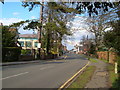
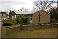
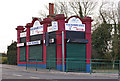
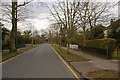
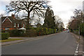
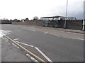
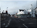
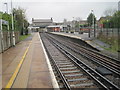
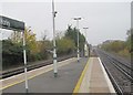
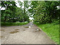
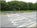
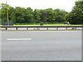
86 photos from this area
Area Information
Key information about the RH6 7LJ including its size, population, and administrative classification.
- Area Type
- Postcode
- Area Size
- 1.1 hectares
- Population
- 1490
- Population Density
- 4464 people/km²
House Prices in RH6 7LJ
24
Properties
£272,581
Average Sold Price
£140,000
Lowest Price
£440,000
Highest Price
Showing 24 properties
| Address | Type | Beds | Baths | Last Sale Price | Last Sale Date | |
|---|---|---|---|---|---|---|
| 35 Crescent Way, Horley, RH6 7LJ | Semi-detached | 3 | 1 | £440,000 | Jan 2023 | |
| 67 Crescent Way, Horley, RH6 7LJ | Semi-detached | 3 | 1 | £415,000 | Jun 2021 | |
| 31 Crescent Way, Horley, RH6 7LJ | Semi-detached | 3 | 1 | £363,314 | Sep 2019 | |
| 47 Crescent Way, Horley, RH6 7LJ | Maisonette | - | - | £230,000 | Aug 2015 | |
| 51 Crescent Way, Horley, RH6 7LJ | Maisonette | - | - | £225,000 | Apr 2015 | |
| 45 Crescent Way, Horley, RH6 7LJ | Flat | - | - | £185,000 | Oct 2013 | |
| 29 Crescent Way, Horley, RH6 7LJ | house | - | - | £240,000 | Jan 2013 | |
| 71 Crescent Way, Horley, RH6 7LJ | house | - | - | £187,500 | Aug 2009 | |
| 59 Crescent Way, Horley, RH6 7LJ | Semi-detached | - | - | £140,000 | Jun 2009 | |
| Annexe, 61 Crescent Way, Horley, RH6 7LJ | Flat | - | - | £300,000 | Nov 2007 |
Page 1 of 3
Energy Efficiency in RH6 7LJ
Amenities
Schools
| Rank | School | Type | Entry gender | Ages |
|---|
Explore more schools in this area
Go to Schools tabDemographics
Household Size
Family (3-5 people)
most common
Accommodation Type
Houses
most common
Tenure
51
majority
Ethnic Group
White
most common
Religion
N/A
most common
Household Composition
N/A
most common
Age
47
median
Adults (30-64 years)
most common
Household Deprivation
N/A
with no deprivation
NS-SEC
28
in Lower managerial occupations
Explore more demographic insights in this area
Go to Demographics tabPlanning
Planning Constraints
- Flood RiskPremium
- Ramsar Wetland SitesPremium
- Area of Outstanding Natural BeautyPremium
- Protected Nature ReservePremium
- Protected WoodlandPremium