Area Overview for RH6 7EG
Photos of RH6 7EG
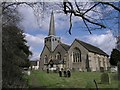
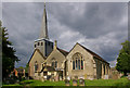
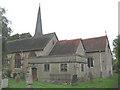
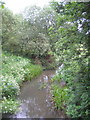
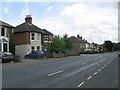
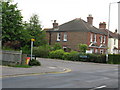
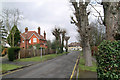
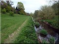
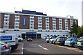
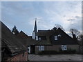
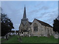
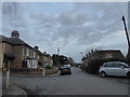
94 photos from this area
Area Information
Key information about the RH6 7EG including its size, population, and administrative classification.
- Area Type
- Postcode
- Area Size
- 2012 m²
- Population
- 1617
- Population Density
- 3517 people/km²
House Prices in RH6 7EG
12
Properties
£110,417
Average Sold Price
£58,000
Lowest Price
£185,500
Highest Price
Showing 12 properties
| Address | Type | Beds | Baths | Last Sale Price | Last Sale Date | |
|---|---|---|---|---|---|---|
| 9 Longbridge Road, Horley, RH6 7EG | Flat | 1 | 1 | £175,000 | May 2024 | |
| 21 Longbridge Road, Horley, RH6 7EG | Flat | 1 | 1 | £110,000 | Sep 2019 | |
| 23 Longbridge Road, Horley, RH6 7EG | Flat | - | - | £185,500 | Jan 2018 | |
| 7 Longbridge Road, Horley, RH6 7EG | Flat | 1 | 1 | £115,000 | Oct 2017 | |
| 5 Longbridge Road, Horley, RH6 7EG | Flat | 1 | 1 | £161,000 | Dec 2016 | |
| 15 Longbridge Road, Horley, RH6 7EG | Flat | - | - | £103,000 | Dec 2013 | |
| 3 Longbridge Road, Horley, RH6 7EG | Flat | - | - | £105,000 | Jun 2006 | |
| 11 Longbridge Road, Horley, RH6 7EG | Flat | 1 | 1 | £98,000 | Nov 2005 | |
| 19 Longbridge Road, Horley, RH6 7EG | Flat | 1 | 1 | £95,000 | Jan 2003 | |
| 1 Longbridge Road, Horley, RH6 7EG | Flat | - | - | £60,000 | Oct 2001 |
Page 1 of 2
Energy Efficiency in RH6 7EG
Amenities
Schools
| Rank | School | Type | Entry gender | Ages |
|---|
Explore more schools in this area
Go to Schools tabDemographics
Household Size
One person
most common
Accommodation Type
Houses
most common
Tenure
69
majority
Ethnic Group
White
most common
Religion
N/A
most common
Household Composition
N/A
most common
Age
47
median
Adults (30-64 years)
most common
Household Deprivation
N/A
with no deprivation
NS-SEC
36
in Lower managerial occupations
Explore more demographic insights in this area
Go to Demographics tabPlanning
Planning Constraints
- Flood RiskPremium
- Ramsar Wetland SitesPremium
- Area of Outstanding Natural BeautyPremium
- Protected Nature ReservePremium
- Protected WoodlandPremium