Area Overview for RH6 0EP
Photos of RH6 0EP
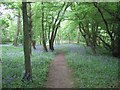
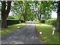
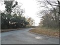

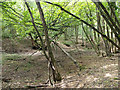
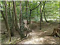
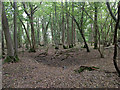
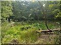
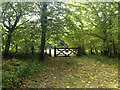
21 photos from this area
Area Information
Key information about the RH6 0EP including its size, population, and administrative classification.
- Area Type
- Postcode
- Area Size
- 1.0 km²
- Population
- 2398
- Population Density
- 165 people/km²
House Prices in RH6 0EP
15
Properties
£845,333
Average Sold Price
£385,000
Lowest Price
£1,400,000
Highest Price
Showing 15 properties
| Address | Type | Beds | Baths | Last Sale Price | Last Sale Date | |
|---|---|---|---|---|---|---|
| Dormer Cottage, Stan Hill, Charlwood, RH6 0EP | Detached | 6 | 2 | £1,400,000 | Jul 2024 | |
| 3, The Stables, Stan Hill, Charlwood, RH6 0EP | house | 3 | 1 | £751,000 | Jul 2021 | |
| Brackenwood Farm, Stan Hill, Charlwood, RH6 0EP | Semi-detached | - | - | £385,000 | Oct 2002 | |
| Stanhill House, Stan Hill, Charlwood, RH6 0EP | Detached | 4 | - | - | - | |
| Biltam Farm, Stan Hill, Charlwood, RH6 0EP | Bungalow | 5 | 2 | - | - | |
| The Lodge, Stanhill Court Hotel, Stan Hill, Charlwood, RH6 0EP | Detached | 6 | 2 | - | - | |
| Candleford, Stan Hill, Charlwood, RH6 0EP | Detached | 3 | 2 | - | - | |
| 1, The Stables, Stan Hill, Charlwood, RH6 0EP | house | 5 | - | - | - | |
| The Annexe, Trumbles Hotel, Stan Hill, Charlwood, RH6 0EP | undefined | - | - | - | - | |
| The Stanhill Court Hotel, Stanhill Court Hotel, Stan Hill, Charlwood, RH6 0EP | hotel | - | - | - | - |
Page 1 of 2
Energy Efficiency in RH6 0EP
Amenities
Schools
| Rank | School | Type | Entry gender | Ages |
|---|
Explore more schools in this area
Go to Schools tabDemographics
Household Size
Family (3-5 people)
most common
Accommodation Type
Houses
most common
Tenure
78
majority
Ethnic Group
White
most common
Religion
N/A
most common
Household Composition
N/A
most common
Age
47
median
Adults (30-64 years)
most common
Household Deprivation
N/A
with no deprivation
NS-SEC
39
in Lower managerial occupations
Explore more demographic insights in this area
Go to Demographics tabPlanning
Planning Constraints
- Flood RiskPremium
- Ramsar Wetland SitesPremium
- Area of Outstanding Natural BeautyPremium
- Protected Nature ReservePremium
- Protected WoodlandPremium