Area Overview for RH5 6PX
Photos of RH5 6PX
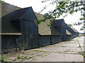

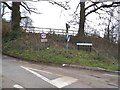
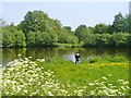
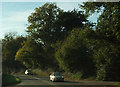
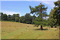
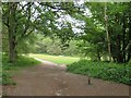
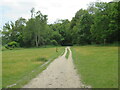
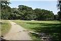
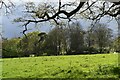
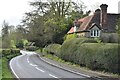
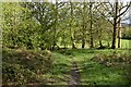
34 photos from this area
Area Information
Key information about the RH5 6PX including its size, population, and administrative classification.
- Area Type
- Postcode
- Area Size
- 28.2 hectares
- Population
- 1643
- Population Density
- 38 people/km²
House Prices in RH5 6PX
27
Properties
£316,879
Average Sold Price
£165,000
Lowest Price
£575,000
Highest Price
Showing 27 properties
| Address | Type | Beds | Baths | Last Sale Price | Last Sale Date | |
|---|---|---|---|---|---|---|
| 13 The Dene, Abinger Hammer, RH5 6PX | house | - | - | £575,000 | Mar 2021 | |
| Dene End, The Dene, Abinger Hammer, RH5 6PX | Bungalow | 2 | 1 | £280,000 | Nov 2019 | |
| 12 The Dene, Abinger Hammer, RH5 6PX | house | - | - | £480,000 | Sep 2018 | |
| 16 The Dene, Abinger Hammer, RH5 6PX | Semi-detached | 3 | - | £460,000 | Feb 2015 | |
| 17 The Dene, Abinger Hammer, RH5 6PX | Semi-detached | 2 | - | £410,000 | Aug 2013 | |
| 4 The Dene, Abinger Hammer, RH5 6PX | Semi-detached | 2 | - | £440,000 | May 2013 | |
| 10 The Dene, Abinger Hammer, RH5 6PX | house | 3 | - | £410,000 | Dec 2010 | |
| 21 The Dene, Abinger Hammer, RH5 6PX | house | - | - | £390,000 | Aug 2009 | |
| 2 The Dene, Abinger Hammer, RH5 6PX | Semi-detached | - | - | £284,000 | Mar 2004 | |
| 15 The Dene, Abinger Hammer, RH5 6PX | Semi-detached | - | - | £262,000 | May 2002 |
Page 1 of 3
Energy Efficiency in RH5 6PX
Amenities
Schools
| Rank | School | Type | Entry gender | Ages |
|---|
Explore more schools in this area
Go to Schools tabDemographics
Household Size
Two person
most common
Accommodation Type
Houses
most common
Tenure
68
majority
Ethnic Group
White
most common
Religion
N/A
most common
Household Composition
N/A
most common
Age
47
median
Adults (30-64 years)
most common
Household Deprivation
N/A
with no deprivation
NS-SEC
50
in Lower managerial occupations
Explore more demographic insights in this area
Go to Demographics tabPlanning
Planning Constraints
- Flood RiskPremium
- Ramsar Wetland SitesPremium
- Area of Outstanding Natural BeautyPremium
- Protected Nature ReservePremium
- Protected WoodlandPremium