Area Overview for RH4 3HP
Photos of RH4 3HP
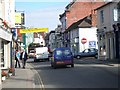
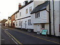
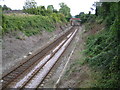
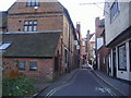
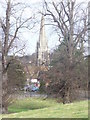
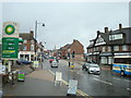
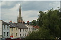
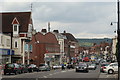
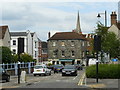
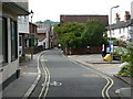
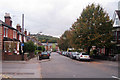
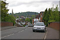
100 photos from this area
Area Information
Key information about the RH4 3HP including its size, population, and administrative classification.
- Area Type
- Postcode
- Area Size
- 6926 m²
- Population
- 1926
- Population Density
- 6524 people/km²
House Prices in RH4 3HP
28
Properties
£444,848
Average Sold Price
£191,000
Lowest Price
£885,000
Highest Price
Showing 28 properties
| Address | Type | Beds | Baths | Last Sale Price | Last Sale Date | |
|---|---|---|---|---|---|---|
| 22 Howard Road, Dorking, RH4 3HP | Terraced | 3 | 1 | £885,000 | May 2024 | |
| 33 Howard Road, Dorking, RH4 3HP | Semi-detached | 2 | 1 | £622,500 | Jan 2023 | |
| 36 Howard Road, Dorking, RH4 3HP | Semi-detached | 4 | 1 | £580,000 | Jan 2019 | |
| 40 Howard Road, Dorking, RH4 3HP | Semi-detached | 3 | 1 | £540,000 | Jun 2018 | |
| 34 Howard Road, Dorking, RH4 3HP | house | 2 | - | £499,950 | Mar 2016 | |
| 24 Howard Road, Dorking, RH4 3HP | Semi-detached | 3 | 1 | £483,000 | Dec 2015 | |
| 27 Howard Road, Dorking, RH4 3HP | house | - | - | £550,000 | Aug 2015 | |
| 25 Howard Road, Dorking, RH4 3HP | Semi-detached | 3 | 1 | £471,500 | Dec 2014 | |
| 41 Howard Road, Dorking, RH4 3HP | Semi-detached | - | - | £495,000 | Apr 2014 | |
| 39 Howard Road, Dorking, RH4 3HP | Semi-detached | 3 | - | £478,500 | Jun 2013 |
Page 1 of 3
Energy Efficiency in RH4 3HP
Amenities
Schools
| Rank | School | Type | Entry gender | Ages |
|---|
Explore more schools in this area
Go to Schools tabDemographics
Household Size
Family (3-5 people)
most common
Accommodation Type
Houses
most common
Tenure
56
majority
Ethnic Group
White
most common
Religion
N/A
most common
Household Composition
N/A
most common
Age
47
median
Adults (30-64 years)
most common
Household Deprivation
N/A
with no deprivation
NS-SEC
40
in Lower managerial occupations
Explore more demographic insights in this area
Go to Demographics tabPlanning
Planning Constraints
- Flood RiskPremium
- Ramsar Wetland SitesPremium
- Area of Outstanding Natural BeautyPremium
- Protected Nature ReservePremium
- Protected WoodlandPremium