Area Overview for RH4 3DZ
Photos of RH4 3DZ
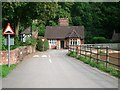
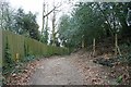
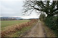
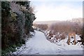

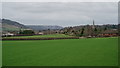
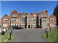
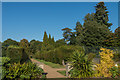
63 photos from this area
Area Information
Key information about the RH4 3DZ including its size, population, and administrative classification.
- Area Type
- Postcode
- Area Size
- 2.9 hectares
- Population
- 1405
- Population Density
- 1178 people/km²
House Prices in RH4 3DZ
10
Properties
£811,875
Average Sold Price
£600,000
Lowest Price
£1,225,000
Highest Price
Showing 10 properties
| Address | Type | Beds | Baths | Last Sale Price | Last Sale Date | |
|---|---|---|---|---|---|---|
| Little Willows, Nutcombe Lane, Dorking, RH4 3DZ | Bungalow | 3 | 2 | £930,000 | May 2025 | |
| Branscombe, Nutcombe Lane, Dorking, RH4 3DZ | Bungalow | - | - | £815,000 | Jul 2022 | |
| Talskiddy, Nutcombe Lane, Dorking, RH4 3DZ | Bungalow | 3 | 2 | £800,000 | Jan 2021 | |
| Willowbank, Nutcombe Lane, Dorking, RH4 3DZ | house | - | - | £1,225,000 | Nov 2020 | |
| Lindum Lodge, Nutcombe Lane, Dorking, RH4 3DZ | house | - | - | £625,000 | Sep 2014 | |
| Windwhistle, Nutcombe Lane, Dorking, RH4 3DZ | house | 4 | - | £760,000 | Jan 2012 | |
| Everest, Nutcombe Lane, Dorking, RH4 3DZ | Detached | - | - | £600,000 | Jul 2007 | |
| Caring Daycare, Nutcombe Lodge, Nutcombe Lane, Dorking, RH4 3DZ | Detached | - | - | £740,000 | Jun 2006 | |
| Dragonwyck, Nutcombe Lane, Dorking, RH4 3DZ | Detached | - | - | - | - | |
| White Gates, Nutcombe Lane, Dorking, RH4 3DZ | Detached | - | - | - | - |
Energy Efficiency in RH4 3DZ
Amenities
Schools
| Rank | School | Type | Entry gender | Ages |
|---|
Explore more schools in this area
Go to Schools tabDemographics
Household Size
One person
most common
Accommodation Type
Houses
most common
Tenure
56
majority
Ethnic Group
White
most common
Religion
N/A
most common
Household Composition
N/A
most common
Age
47
median
Adults (30-64 years)
most common
Household Deprivation
N/A
with no deprivation
NS-SEC
46
in Lower managerial occupations
Explore more demographic insights in this area
Go to Demographics tabPlanning
Planning Constraints
- Flood RiskPremium
- Ramsar Wetland SitesPremium
- Area of Outstanding Natural BeautyPremium
- Protected Nature ReservePremium
- Protected WoodlandPremium